What is recorded here
No visible evidence of the reported external fosse remains on the ground today.
At the NW end of a long ridge in pasture. A raised circular area (diam. 29.6m) enclosed by a low bank of earth and stone (Wth 5.2m; H 0.25-0.7m). A report in 1976 (SMR file) recorded faint traces of an external fosse, which are no longer visible. Large field-clearance stones have been placed on the bank and within the interior. A modern entrance (Wth 3.1m) at ESE may mark the original one. Cultivation ridges are evident within the interior.
Compiled by: Patrick F. O'Donovan
Date of upload: 26 August 2011
The monument record does not grant public access. Check the route and ask the landowner before entering private land.
- What survives
- Recorded monument
Places near here
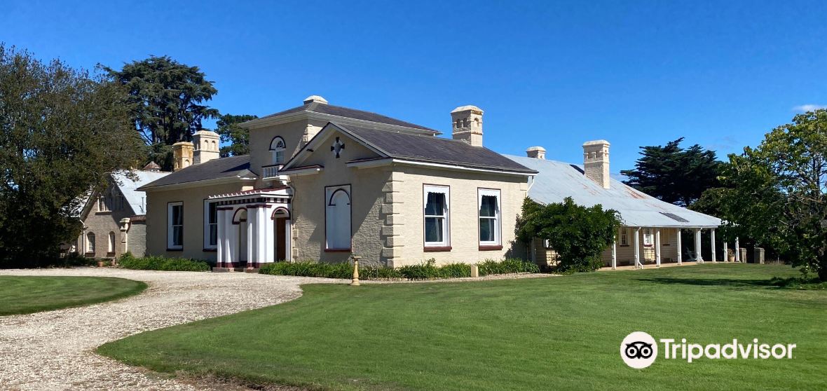 Enclosure in CaldraghmoreEnclosure · 465 yd
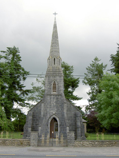 Saint Anne's Catholic Churchchurch/chapel · 1303 yd
 Site of Kers GraveMegalithic tomb · 1343 yd
 Chapel (in Ruins)Church · 1743 yd
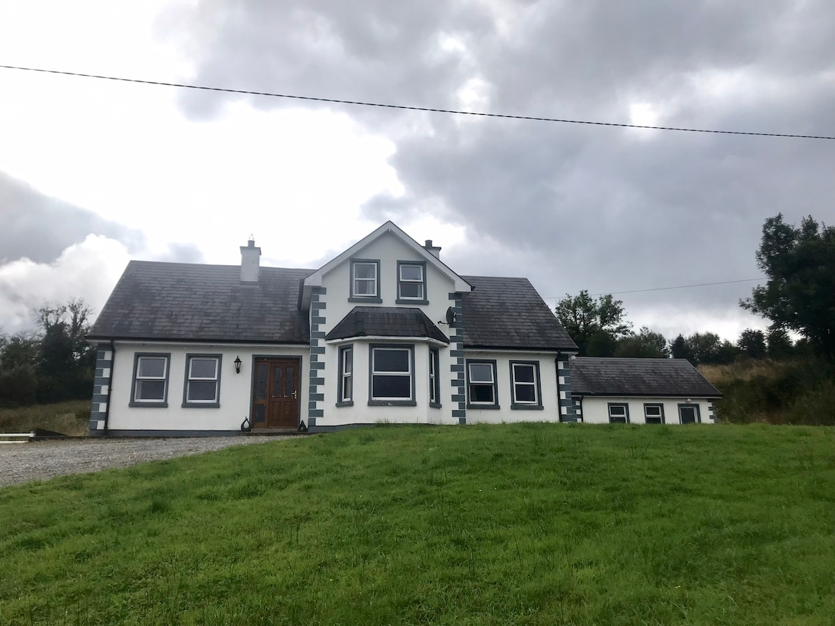 IndicatedBawn · 1.1 mi
 Graveyard in Curry (ardagh By., Coolamber Ed)Graveyard · 1.2 mi
 CastleCastle, tower house · 1.6 mi
 First World War MemorialMemorial · 3.9 mi
 Saint Mel's CathedralCathedral · 4.1 mi
 Commons North WalkVisitor information · 6.7 mi
 Wild birdsVisitor information · 6.8 mi
 White Sand WoodWood · 6.8 mi