What is recorded here
Half-buried in gorse and rough grazing above Laurence's Cove, the Cloonaghlin West ringfort keeps its circular shape in a thin earthen bank, barely forty centimetres high on the outside. The locals still call it a lios, a fairy fort, as if the sea mist had swallowed the people but left the boundary behind. A narrow passage may still run beneath the mound, dark and dry, waiting for someone brave enough to crawl through what the briars refuse to show.
In rough grazing, on a terrace, partially obscured by gorse and briars, on a N-facing slope overlooking Laurence's Cove and Berehaven Harbour. A roughly circular area (diam. 18m) is enclosed by the remains of an earthen bank (Wth 1.8m; int. H 0.2m; ext. H 0.4m) NW-E with intermittent traces elsewhere. The rath is known locally as a lios and there is a possible Man-made underground passage (CO128-036002-) within.
The above description is derived from 'The Archaeological Inventory of County Cork. Volume 5' (Dublin: Stationery Office, 2009).
Date of upload: 22 December 2009
The monument record does not grant public access. Check the route and ask the landowner before entering private land.
- What survives
- Recorded monument
Places near here
 Killeenagh FortFairy fort / earthen ringfort · 550 yd
 Promontory fortPromontory fort, coastal · 700 yd
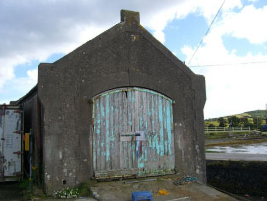 boathouseboathouse · 1143 yd
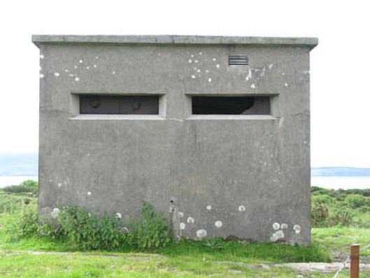 pill boxpill box · 1156 yd
 Bere IslandIsland · 1594 yd
 Turk IslandIslet · 1725 yd
 Rerrin LoopWalking route · 1.4 mi
 KnockanalligMountain / peak · 1.8 mi
 TrawnablahaBeach / strand · 2.2 mi
 Holly HillMountain / peak · 2.8 mi
 Burial ground in DerrycreeveenBurial ground · 3.1 mi
 Ardnakinna West Island LoopWalking route · 3.1 mi