What is recorded here
Fairy forts are not places where children fly or magic happens. They are abandoned human settlements, often farmsteads or small defensible places, left behind when life moved on. The fairies enter later because people stopped believing the dead or forgotten still mattered. Clonygrange is one of those ordinary places made strange by forgetting.
Situated on a fairly level landscape with a canalised WNW-ESE section of a small stream just to the S. This feature is not represented on any edition of the OS 6-inch map but is visible on aerial photographs (GSIAP: N 149, 150) and on later series. This is a subcircular grass-covered area (dims 64m WNW-ESE; 56m NNE-SSW) defined by an earthen bank (at WNW: Wth of base 6.5m; it. H 0.6m; ext. H 2m) separated by a fosse (at WNW: Wth of top 4.7m; Wth of base 1.2m; ext. D 0.8m) from an outer bank (at WNW: Wth c. 2m; ext. H 0.6m) that is probably a field bank with an outer silted drain (at WNW: Wth of base 1m; ext. D 0.2m), but the inner bank is reduced to a scarp (at E: Wth 1.5m; H 1.4m) NE-ESE separated by a berm (Wth 2m) from an eroded outer bank (Wth of base 4m; int. H 0.2m; ext. H 0.2m) that is missing N-ESE. There is a wide entrance (Wth 6m) at N. The inner and outer banks are truncated by the stream SSE-SW.
The above description is derived from the published 'Archaeological Inventory of County Meath' (Dublin: Stationery Office, 1987). In certain instances the entries have been revised and updated in the light of recent research.
Compiled by: Michael Moore
Date of revision: 5 July 2019
The monument record does not grant public access. Check the route and ask the landowner before entering private land.
- What survives
- Recorded monument
Places near here
 EnclosureEnclosure, large enclosure · 886 yd
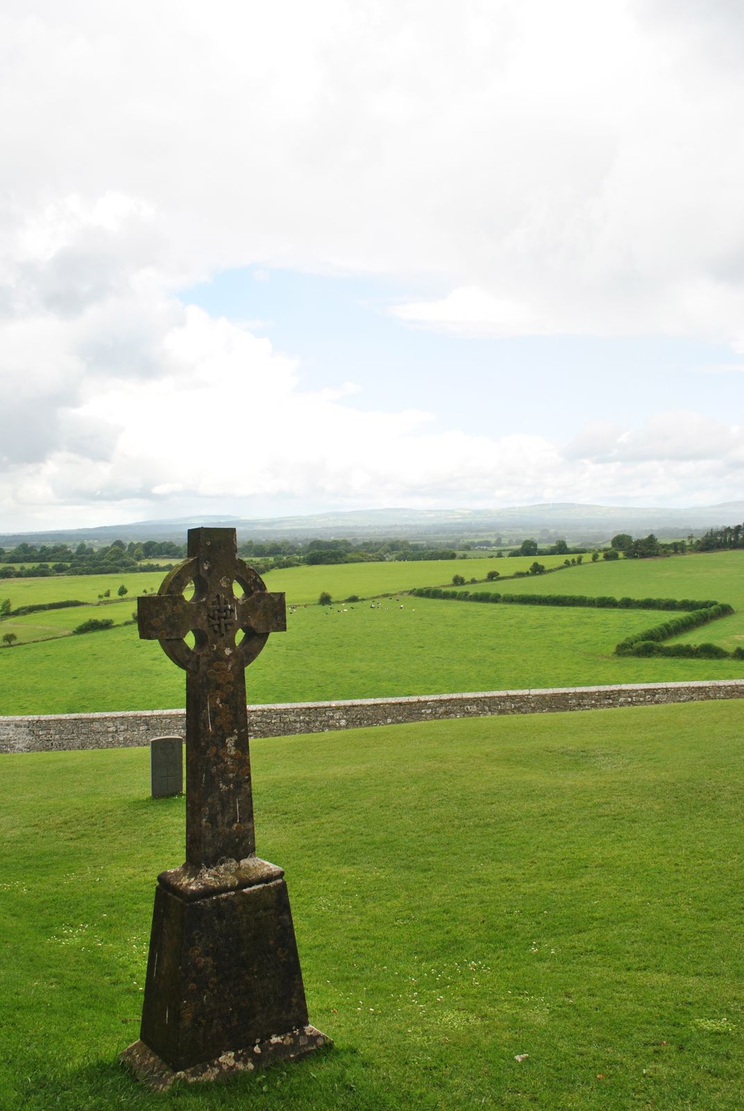 Cross in KillaconniganCross · 1157 yd
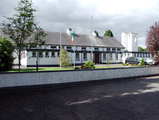 Saint Columbanus's National Schoolschool · 1306 yd
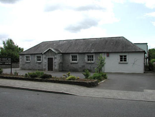 Ballivor National Schoolschool · 1376 yd
 Carrantstown CastleCastle, unclassified · 1.4 mi
 ScregganWood · 2.1 mi
 MoatCastle, motte and bailey · 2.2 mi
 European BeechEuropean Beech · 3.6 mi
 FraineMountain / peak · 5.3 mi
 Croppies' GraveMemorial · 6.2 mi
 Cloncurry GraveyardHeritage attraction · 11 mi
 Old Bog Road made famous by Teresa Bryton 1868-1943Memorial · 12 mi