What is recorded here
In pasture, on a gentle S-facing slope. Circular enclosure (dims. c. 29m N-S; c. 27m E-W) defined by earthen bank (Wth 7.25m; int. H 0.6m; ext. H 1.75m) reducing to scarp at W, where it has been damaged. Numerous mature trees atop bank and scarp. Interior slopes downwards gently to S and is covered in disused metal scrap and overgrowth. Farm road flanks W side of monument.
Compiled by: Jean Farrelly
Date of upload: 26 August 2011
The monument record does not grant public access. Check the route and ask the landowner before entering private land.
- What survives
- Recorded monument
Places near here
 CrossCross, High cross · 840 yd
 Enclosure in BallynilardEnclosure · 951 yd
 Site of CastleCastle, unclassified · 1180 yd
 Bawn in Breansha MoreBawn · 1605 yd
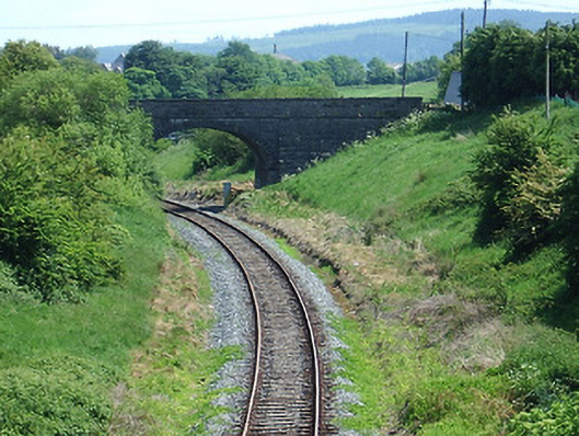 bridgebridge · 1680 yd
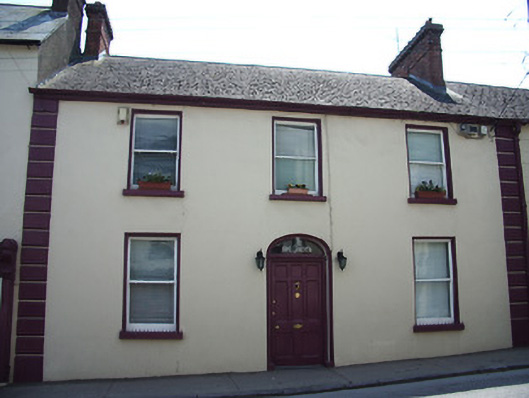 Saint Jude'shouse · 1.1 mi
 The Maid of ErinMemorial · 1.2 mi
 It's a long way to TippereryHeritage attraction · 1.4 mi
 The RockViewpoint · 2.0 mi
 I.R.A. 3rd. Tipperary Brigade MemorialMemorial · 2.1 mi
 Glen of AherlowViewpoint · 2.3 mi
 Christ the KingViewpoint · 2.3 mi