What is recorded here
Magic is not required to explain the fortress, although locals still call it a fairy fort. The earthen banks and waterlogged ditch remain visible around a circular space thirty-seven metres wide, with a causeway cutting through the southeast entrance. Human hands built the defenses and lived inside them, yet the name preserves the old belief that the site belonged to something else.
Raised circular area (int. diam c. 37m) enclosed by two substantial earthen banks with intermediate wide, deep, partly waterlogged fosse. Outer bank and fosse identifiable from NNW-N-E. Fosse also identifiable at WSW. Break in bank with accompanying causeway at SE represents original entrance.
The above description is derived from the published 'Archaeological Inventory of County Cavan' (Dublin: Stationery Office, 1995). In certain instances the entries have been revised and updated in the light of recent research.
Date of upload/revision: 22 December 2008
The monument record does not grant public access. Check the route and ask the landowner before entering private land.
- What survives
- Recorded monument
Places near here
 DrumbrucklisMountain / peak · 801 yd
 Muckram FortFairy fort / earthen ringfort · 892 yd
 Mackram FortArchaeological place · 900 yd
 Aghakilmore LowerMountain / peak · 1.7 mi
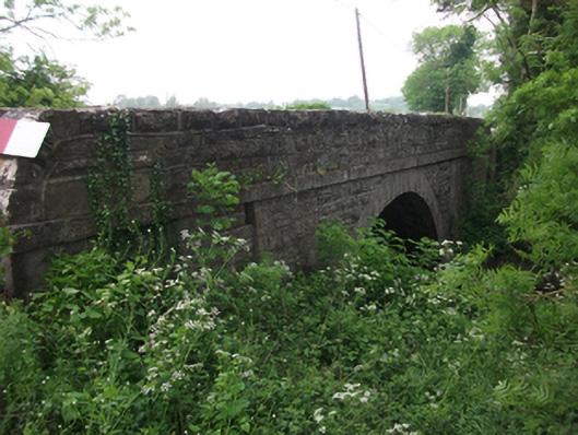 bridgebridge · 1.8 mi
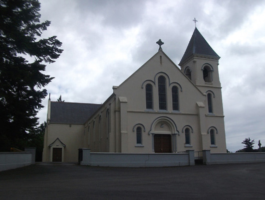 Our Lady of Lourdes Roman Catholic Churchchurch/chapel · 1.8 mi
 IdicatedCastle, unclassified · 2.4 mi
 Deer ParkWood · 3.0 mi
 Moynagh Upper ForestForest · 3.1 mi
 Crane IslandIslet · 3.9 mi
 CastleCastle, motte · 3.9 mi
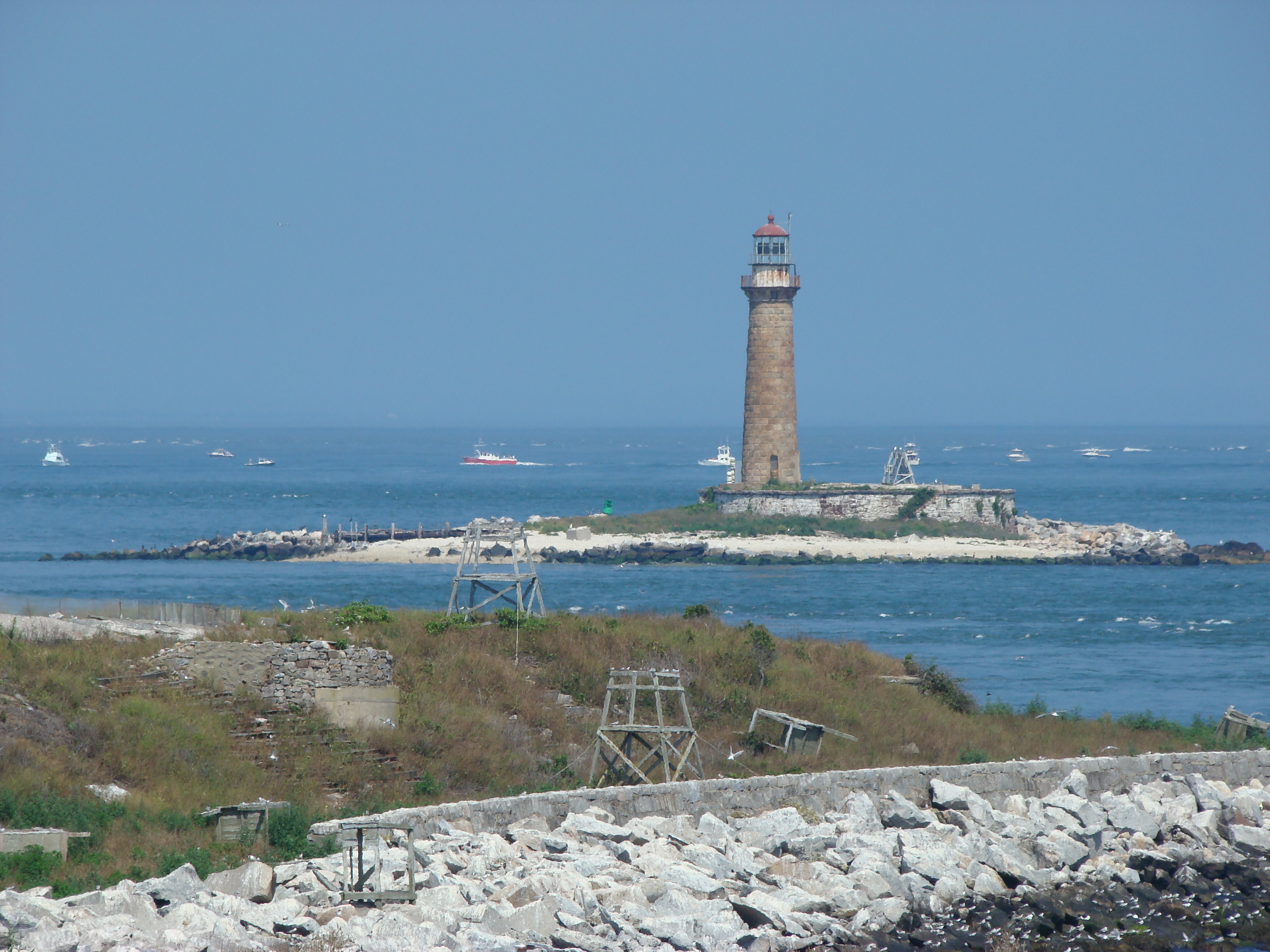 Gull IslandIslet · 3.9 mi