What is recorded here
Fairy fort in Clonmeenan, County Monaghan: a 43 m earthen ring on a drumlin crest, with a 1.4 m entrance at the northwest and no visible fosse. People may have lived there, marked territory there, or simply followed the shape the land had already made. The bank still stands above the grass, holding its circle against forgetting.
Located at the crest of the E-facing slope of a drumlin. This is a circular overgrown area (diam. 43m N-S) sloping down slightly to the SE. It is defined by an overgrown earthen bank (at NW: Wth 5.2m; int. H 1.1m; ext. H 1.2m) SW-N-NNE and by a scarp (at SE: H 1.75m) elsewhere. There is no visible fosse and there is an entrance (Wth 1.4m) at NW.
The above description is derived from the published 'Archaeological Inventory of County Monaghan' (Dublin: Stationery Office, 1986). In certain instances the entries have been revised and updated in the light of recent research.
Date of revision: 27 July 2017
The monument record does not grant public access. Check the route and ask the landowner before entering private land.
- What survives
- Recorded monument
Places near here
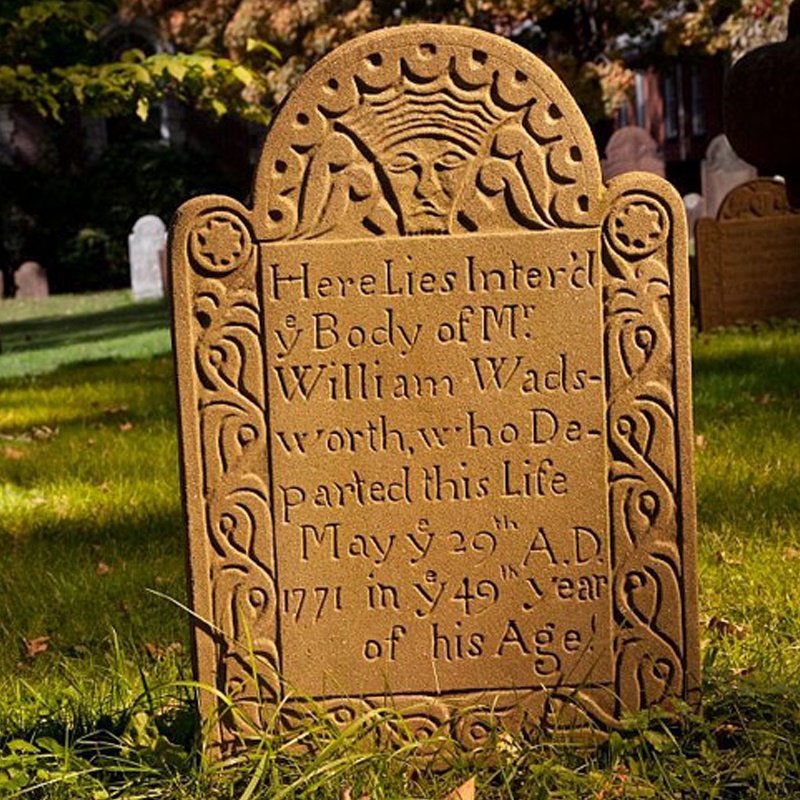 Ancient Burying GroundEcclesiastical enclosure · 730 yd
 Flat cemetery in AnnaheanFlat cemetery · 914 yd
 Church in Killark (farney By.)Church · 1136 yd
 Coolderry Chapel of Easechurch/chapel · 1154 yd
 Man-made underground passage in Killark (farney By.)Man-made underground passage · 1284 yd
 Lagan castleCastle, tower house · 1448 yd
 CastleCastle, motte and bailey · 1.2 mi
 Tree IslandWood · 2.4 mi
 Matthew's HillMountain / peak · 3.4 mi
 BarleyhillMountain / peak · 3.9 mi
 Monkey-puzzleMonkey-puzzle · 4.0 mi
 Graveyard in StickillinGraveyard · 8.2 mi