What is recorded here
Situated on a broad plateau at a point where the townland boundary with Ballybrack curves around it W-N. It is known locally as 'Rath na Tine' (rath of fire), and is said to have been removed in the late 19th century or early 20th century. It is visible as a slightly raised and dished circular area (int. diam. c. 25m; ext. diam. c. 35m).
The above description is derived from the published 'Archaeological Inventory of County Wexford' (Dublin: Stationery Office, 1996). In certain instances the entries have been revised and updated in the light of recent research.
Compiled by: Michael Moore
Date of upload/revision: 19 February, 2013
The monument record does not grant public access. Check the route and ask the landowner before entering private land.
- What survives
- Recorded monument
Places near here
 Ballybrack Housefarm house · 186 yd
 St. Edans WellHoly well · 786 yd
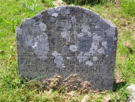 graveyard/cemeterygraveyard/cemetery · 1094 yd
 Burnt spread in ClongeenBurnt spread · 1215 yd
 Bryanstown Ho.Castle, tower house · 1548 yd
 Coolcliffe HouseRuins · 1.9 mi
 CastleCastle, tower house · 2.1 mi
 Lockheed Hudson AM885 MemorialMemorial · 3.4 mi
 Carrickbyrne HillMountain / peak · 4.7 mi
 Carrig-On-BannowVisitor information · 4.9 mi
 1798 MemorialMemorial · 4.9 mi
 Bridges ChamberCave · 6.3 mi