What is recorded here
No visible gap or marked doorway remains on the Cloncovet ring, only a low earthen bank circling a raised ground about thirty-one metres across. That absence makes the fort feel less like a house and more like a trap, as if entry depended on knowing the right moment or the right path. The waterlogged ditch beside it can still hold rain and shadow, giving the place a damp, patient life.
Raised circular area (int. diam. c. 31m) enclosed by a low, narrow earthen bank and a wide, shallow, waterlogged fosse identifiable only from E-S-SSW. Original entrance not recognisable.
The above description is derived from the published 'Archaeological Inventory of County Cavan' (Dublin: Stationery Office, 1995). In certain instances the entries have been revised and updated in the light of recent research.
Date of upload/revision: 22 December 2008
The monument record does not grant public access. Check the route and ask the landowner before entering private land.
- What survives
- Recorded monument
Places near here
 IdicatedCastle, unclassified · 787 yd
 CartronfreeMountain / peak · 1755 yd
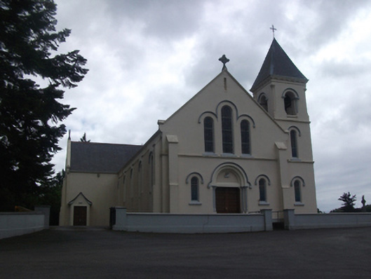 Our Lady of Lourdes Roman Catholic Churchchurch/chapel · 1.1 mi
 Enclosure in Carnagh UpperEnclosure · 1.5 mi
 Enclosure in TullygullinEnclosure · 1.6 mi
 ToomeMountain / peak · 1.7 mi
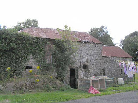 Clooneen Millmill (water) · 1.9 mi
 Moynagh Upper ForestForest · 2.6 mi
 Carrick RockWood · 3.3 mi
 Bakers FortCastle, ringwork · 3.8 mi
 Sporting RockIslet · 3.9 mi
 1798 Monumentmonument · 4.0 mi