What is recorded here
Cloncovet lost its fairy fort in the 1980s when machines levelled the earth. Before that, a substantial bank enclosed a wide oval space large enough for dozens of people to gather, though the entrance had already vanished from memory. The soil swallowed the boundary between human history and fairy tale, leaving only a flat field where the shape of the ring once stood.
Levelled in the 1980s (local information). An earlier report (OPW 1970) described a raised oval area (int. dims. c. 35m WNW-ES; c. 28m NNE-SSW) enclosed by a substantial earthen bank and a wide, shallow fosse. Original entrance was not recognisable. Not visible at ground level.
The above description is derived from the published 'Archaeological Inventory of County Cavan' (Dublin: Stationery Office, 1995). In certain instances the entries have been revised and updated in the light of recent research.
Date of upload/revision: 22 December 2008
A fairy fort / earthen ringfort in Cloncovet is a likely early-medieval ringfort, characterized by a raised oval area surrounded by a bank and fosse. It was associated with local folklore referring to it as a "fairy fort," reflecting the common Irish tradition linking such sites to supernatural beings.
The monument record does not grant public access. Check the route and ask the landowner before entering private land.
- What survives
- Recorded monument
Places near here
 Enclosure in Carnagh UpperEnclosure · 953 yd
 ToomeMountain / peak · 1467 yd
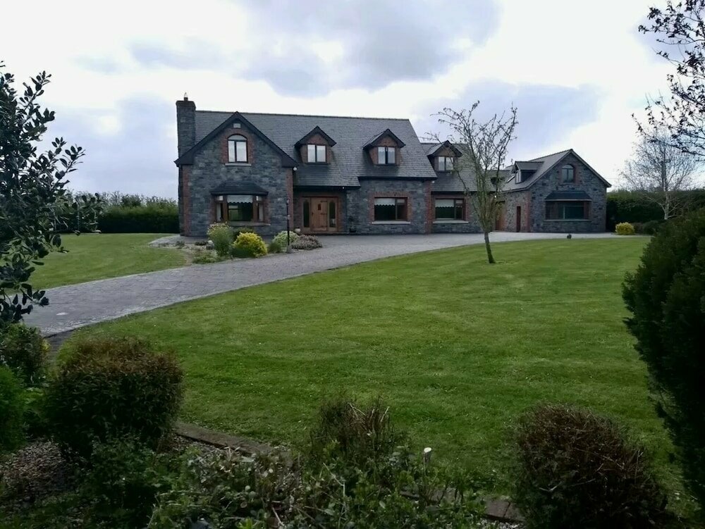 Carnagh LowerMountain / peak · 1541 yd
 CaveMan-made underground passage · 1704 yd
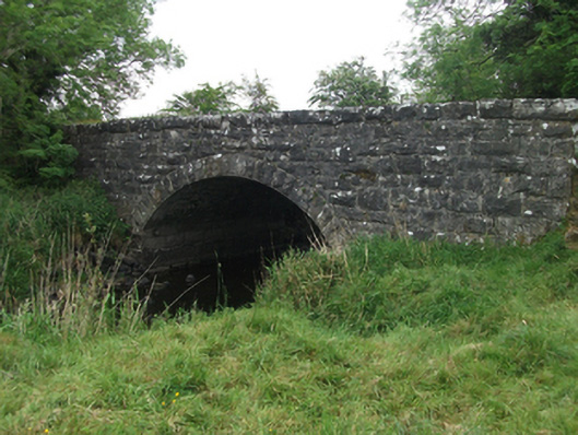 Kilsaran Bridgebridge · 1.1 mi
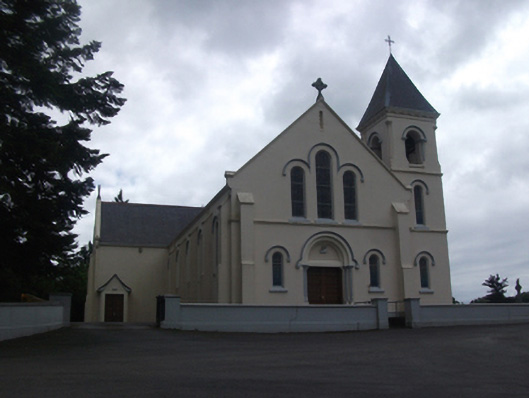 Our Lady of Lourdes Roman Catholic Churchchurch/chapel · 1.3 mi
 IdicatedCastle, unclassified · 1.5 mi
 Cornamucklagh WoodlandWood · 2.2 mi
 Scrabby IslandIslet · 3.0 mi
 Cloone Ho.Castle, unclassified · 3.3 mi
 Derrycassan WoodsWood · 3.3 mi
 White IslandIslet · 4.3 mi