What is recorded here
Lismoyle, the bald rath, occupies the eastern summit of a drumlin ridge in Clonacullion, preserving a subcircular grass arena forty-one metres wide. Its earthen scarp remains visible beneath modern field banks and hedges, marking a boundary between human occupation and forgotten time. Local tradition claims flat stones once indicated old graves within the ring, suggesting the fort served both living residents and dead ancestors. The missing entrance and bare name point to a place where memory has been stripped away, leaving only shape and silence behind.
Located on the most easterly of three summits of an E-W drumlin ridge, it is known locally as Lismoyle – lios maol, the bald or bare rath. It is a subcircular grass-covered area (dims 47.5m E-W; 41m N-S) defined by a scarp (at SW: Wth 2.4m; H 0.8m) that is incorporated into a field bank with a hedge and outer drain NW-ESE. The original entrance is not identified. According to local tradition old graves marked by flat stones were present (IFC Schools' MSS (940) 294-5), for which see this web-page accessed on 29/05/2018: https://www.duchas.ie/en/cbes
The above description is derived from the published 'Archaeological Inventory of County Monaghan' (Dublin: Stationery Office, 1986). In certain instances the entries have been revised and updated in the light of recent research.
Revised by: Michael Moore
Date of revision: 19 June 2018
The monument record does not grant public access. Check the route and ask the landowner before entering private land.
- What survives
- Recorded monument
Places near here
 Man-made underground passage in GortlannaMan-made underground passage · 970 yd
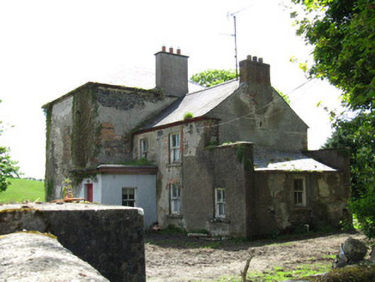 Farmoyle Househouse · 1400 yd
 fort RawFairy fort / earthen ringfort · 1450 yd
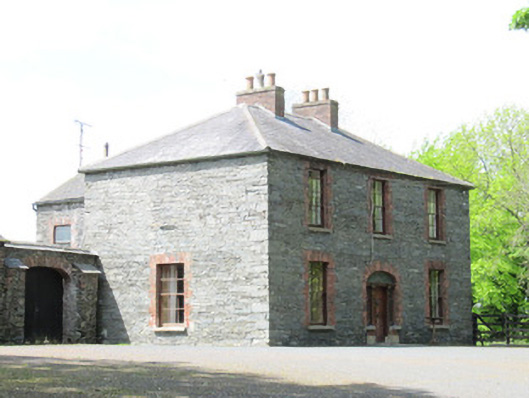 Mount Carmelhouse · 1564 yd
 AghagashlanMountain / peak · 1.1 mi
 Giant's GraveArchaeological place · 1.2 mi
 Fedd HillMountain / peak · 2.7 mi
 Dartrey ForestForest · 3.1 mi
 Senator Billy Fox 1939 - 1974Memorial · 3.3 mi
 Erica's Fairy ForestForest · 3.6 mi
 CastleCastle, unclassified · 4.1 mi
 IndicatedFairy fort / earthen ringfort · 1.2 mi