What is recorded here
Fairy fort / earthen ringfort in Clonacody is a fairy fort or earthen ringfort in Clonacody, County Tipperary, Ireland. Lalor's Fort, the local name recorded by Lyons in 1937, remains a roughly circular trivallate ringfort on a gentle northeast-facing slope in Clonacody. It measures 26.8 metres north-south and 28.1 metres east-west, enclosing three banks and two ditches that rise between 0.7 and 1.7 metres above the ground. The entrance sits in the east quadrant, slightly offset to the southeast, and narrow cattle gaps still cut the outer banks in the south.
On a gentle NE-facing slope in gently undulating terrain. Currently in grounds of Slievenamon Golf Club. Roughly circular trivallate ringfort (diam. 26.8m N-S; 28.1m E-W) enclosed by a bank (Wth 2.9m crest, 6.4m base; int. H 0.74m; ext. H 1.29m); fosse (Wth 2.6m; D 1.36m); bank (Wth 2.5m crest, 5.9m base; ext. H 1.66m); outer fosse (Wth 1.7m; D 1.34m) and outer bank (Wth 2m crest, 3.4m base; ext. H 0.7m). Ringfort is overgrown with trees but relatively clear beneath. Entrance in E quadrant (Wth 2m) through two other banks, not as clear through inner bank and is slightly off-line to SE. Monument is enclosed by a field bank in the N and W sectors, the other bank has been augmented by this field boundary in the N quadrant. There are narrow cattle gaps in the outer banks in the S quadrant. According to Lyons (1937, 127) the local name for the monument was 'Lalor's Fort'.
Compiled by: Jean Farrelly
Date of upload: 26 August 2011
The monument record does not grant public access. Check the route and ask the landowner before entering private land.
- What survives
- Recorded monument
Places near here
 Enclosure in ClonacodyEnclosure · 565 yd
 Enclosure in BaptistgrangeEnclosure · 776 yd
 CastleCastle, motte · 939 yd
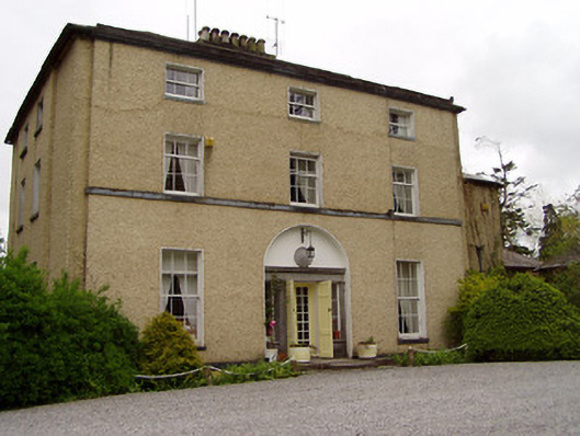 Clonacody Housecountry house · 1035 yd
 Catholic Church of Saint John the Baptistchurch/chapel · 1271 yd
 Pedunculate OakPedunculate Oak · 1498 yd
 Castle (in ruins)Castle, tower house · 1508 yd
 Persian WalnutPersian Walnut · 1.8 mi
 East GateMemorial · 2.7 mi
 Kilknockan HillMountain / peak · 3.9 mi
 CarrickbrockMountain / peak · 4.5 mi
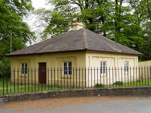 Lakefieldgate lodge · 1460 yd