What is recorded here
Fairy fort, Cloghaundine: a hidden Clare ringfort, not marked on official maps but visible in satellite images as a broad circular shadow beside pasture. It may have been a small fortified farm or a boundary marker forgotten by later fields. The eastern half has been levelled, yet the western curve still holds its shape under grass.
On a fairly level area in pasture. Not indicated on any OS maps. A circular unreclaimed area (diam. c. 30-34m) is visible on Digital Globe (2011-2013) and on OSi MapGenie (2012-2018). On the OSi 2004-2006 orthophotos there appear to be a series of intermittent curving low banks remaining, possibly extending beyond the field boundary extending NNW-SSE across the E quadrant. The area to the E of the field boundary has been levelled. This may be the ploughed out remains of a ringfort.
Compiled by: Mary Tunney
Date of upload: 15 May 2023
The monument record does not grant public access. Check the route and ask the landowner before entering private land.
- What survives
- Recorded monument
Places near here
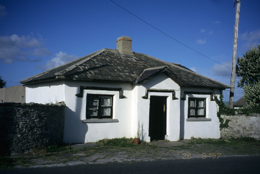 Seamount Housegate lodge · 595 yd
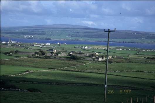 Birchfield Housegates/railings/walls · 595 yd
 John P. Holland CentreMuseum · 1014 yd
 Liscannor Castle (in Ruins)Castle, tower house · 1084 yd
 Enclosure in CaherycahillEnclosure · 1343 yd
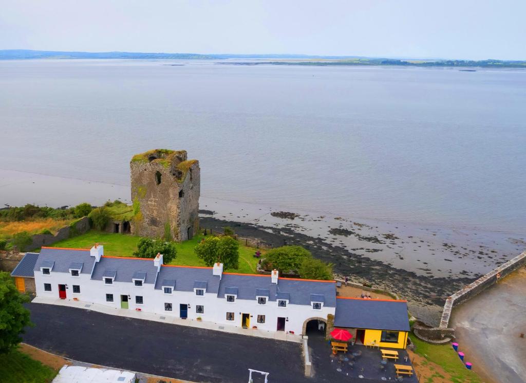 IndicatedFairy fort / stone ringfort · 1540 yd
 Bridget's Well;St Bridget's WellSpring · 1.1 mi
 CastleCastle, unclassified · 1.4 mi
 Liscannor BayBay · 2.0 mi
 Lahinch BeachBeach / strand · 2.2 mi
 Cliffs of MoherCliff · 2.3 mi
 Cliffs of Moher Visitor CentreVisitor information · 2.4 mi