What is recorded here
Fairy fort in Clashagad Lower is a broken earthen ring on a west-facing slope, its south side erased and its entrance forgotten. What remains is a shallow circular scar, wide enough to hold a small life but no longer sharp enough to keep one out. The missing south gap may have been a doorway, a field track, or simply the place where the land gave up.
Situated on the W facing slope of rising ground in undulating countryside. Circular area (diam 36m E-W; 34m N-S) enclosed by an earthen bank (Wth 1.5m; int. H 0.3m; ext. H 0.7m) destroyed at S with external fosse (Wth 2m) only visible from E to S elsewhere it is destroyed. No entrance feature visible, only possible location for entrance where bank and external fosse are destroyed at S.
The above description is derived from the published 'Archaeological Inventory of County Offaly' (Dublin: Stationery Office, 1997). In certain instances the entries have been revised and updated in the light of recent research.
Date of upload: 23 May 2011
The monument record does not grant public access. Check the route and ask the landowner before entering private land.
- What survives
- Recorded monument
Places near here
 Dotted lineBawn · 363 yd
 Castle (in ruins)Castle, tower house · 1244 yd
 Settlement desertedSettlement deserted, medieval · 1424 yd
 Kiln in Boola (bourney Par.)Kiln · 1503 yd
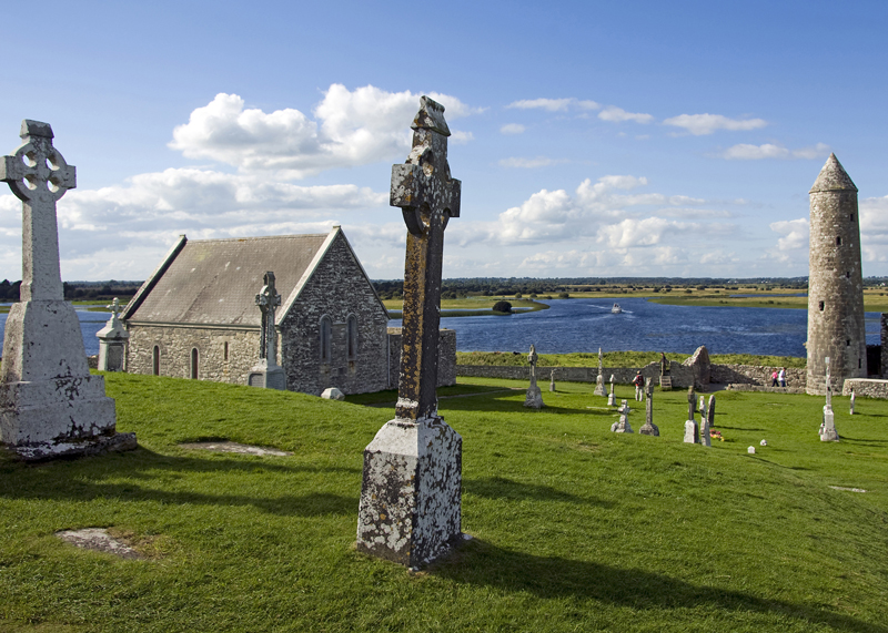 IndicatedEnclosure · 1625 yd
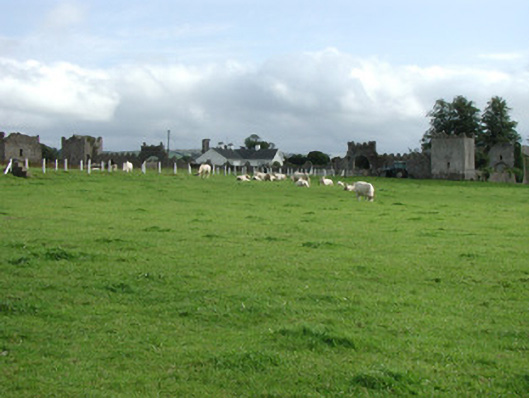 Franckfort Castlecountry house · 1.7 mi
 Longford WoodForest · 2.7 mi
 White MulberryWhite Mulberry · 3.4 mi
 Roscrea Petty Sessions HouseHeritage attraction · 4.1 mi
 BenduffMountain / peak · 4.2 mi
 Eagle HillMountain / peak · 4.9 mi
 Millennium GardenMemorial · 5.0 mi