
What is recorded here
Situated in undulating pastureland on a gradual W-facing slope. The 'towne of Ballynakill' is referred to in the Civil Survey 1654-6 (Simington 1931, vol. 1, 15). There are no earthworks visible at ground level around Ballynakill tower house (TN017-009001).
Compiled by: Caimin O'Brien.
Date of upload: 22 September 2008
The monument record does not grant public access. Check the route and ask the landowner before entering private land.
- What survives
- Recorded monument
Places near here
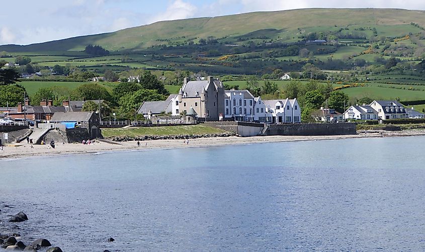 Castle (in ruins)Castle, tower house · 21 yd
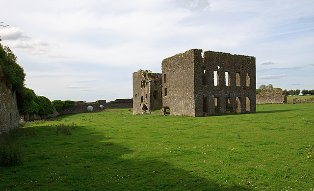 IndicatedBawn · 46 yd
 Kiln in Boola (bourney Par.)Kiln · 1301 yd
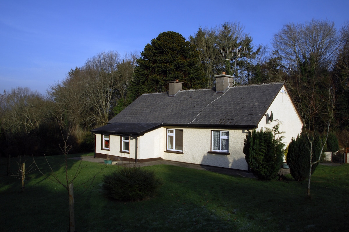 Habitation site in Ballyslea,boola (bourney Par.)Habitation site · 1436 yd
 Enclosure in Carrick (roscrea Par.)Enclosure · 1.1 mi
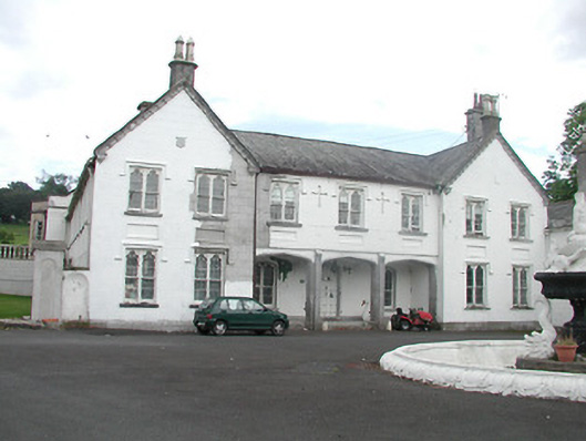 Inane Housecountry house · 1.3 mi
 White MulberryWhite Mulberry · 2.9 mi
 Coolock WoodForest · 3.1 mi
 Roscrea Petty Sessions HouseHeritage attraction · 3.3 mi
 Millennium GardenMemorial · 4.3 mi
 Eagle HillMountain / peak · 4.3 mi
 Golden Grove HillMountain / peak · 4.5 mi
Other information
Photo: Credit not shown in the picture search · Rights wording not checked; contact us if this picture should be removed