What is recorded here
Natural rise of ground with no archaeological features visible, depicted as a circular fiedl on current edition of the OS 6-inch map. Not depicted as an antiquity on any edition of the 6-inch map. Of doubtful antiquity.
The above description is derived from the published 'Archaeological Inventory of County Offaly' (Dublin: Stationery Office, 1997). In certain instances the entries have been revised and updated in the light of recent research.
Date of upload: 23 May 2011
A local fairy fort (ringfort/rath); wider significance not recorded.
The monument record does not grant public access. Check the route and ask the landowner before entering private land.
- What survives
- Recorded monument
Places near here
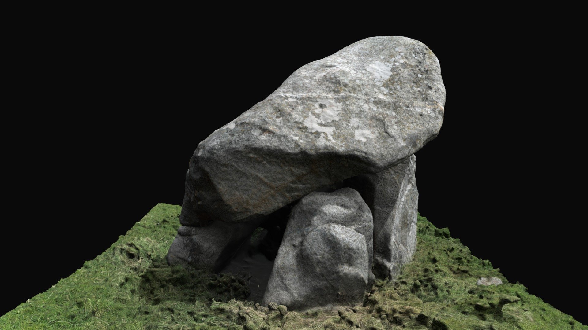 Enclosure in BallybrackEnclosure · 1017 yd
 Dotted lineBawn · 1378 yd
 CastleCastle, motte · 1.1 mi
 Settlement desertedSettlement deserted, medieval · 1.2 mi
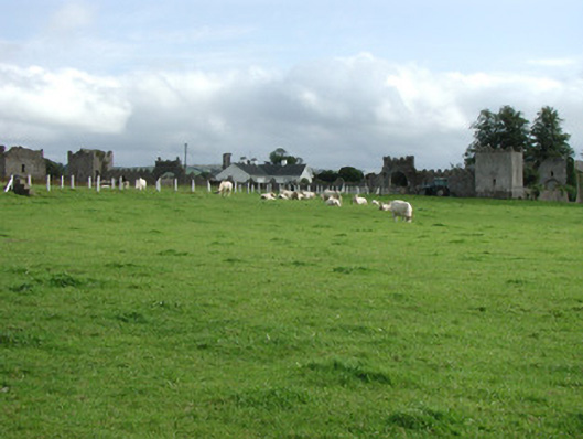 Franckfort Castlecountry house · 1.3 mi
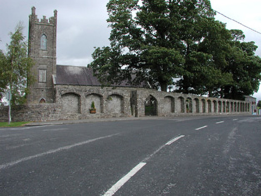 Dunkerrin Churchchurch/chapel · 1.4 mi
 Coolock WoodForest · 2.7 mi
 White MulberryWhite Mulberry · 2.7 mi
 Roscrea Petty Sessions HouseHeritage attraction · 4.0 mi
 Eagle HillMountain / peak · 4.2 mi
 Golden Grove HillMountain / peak · 4.6 mi
 Thomas MacDonagh Heritage CentreMuseum · 6.8 mi
Other information
Photo: Credit not shown in the picture search · Rights wording not checked; contact us if this picture should be removed