What is recorded here
Fairy fort / earthen ringfort in Clare is a fairy fort or earthen ringfort in Clare, County Roscommon, Ireland. The oval grass-covered area measures 41 metres east-west and 32 metres north-south on a northwest-facing slope. A scarp rises 0.5 to 1.3 metres high around the edge, while a rounded fosse cuts through the northern and southern sections. A separate D-shaped enclosure extends 48 metres northwest-southeast beside the main ring, bounded by field banks and a curving earthwork.
On a NW-facing slope. Oval grass-covered area (dims 41m E-W; 32m N-S) defined by a scarp (H 0.5m at S to 1.3m at NW), with a rounded fosse (Wth of base 3.5-4m; ext. D 0.5-0.8m) N-ESE and S-W. There is no identifiable original entrance. A field bank circumscribes the fosse S-W, and a NW-SE field bank overlies the interior E of the centre. A D-shaped enclosure or annexe (RO028-167002-) (dims 48m NW-SE; 40m NE-SW) to the NW is defined by field banks at SW and NE, and a curving bank (Wth 3-4m; int. H 0.3-1.3m; ext. H 0.8-1.7m) at NW. There are pits (RO028-167003-) in the field to the W.
Compiled by: Michael Moore
Date of upload: 24 August 2010
The monument record does not grant public access. Check the route and ask the landowner before entering private land.
- What survives
- Recorded monument
Places near here
 Enclosure in ClareEnclosure · 46 yd
 Church (in Ruins)Church · 1627 yd
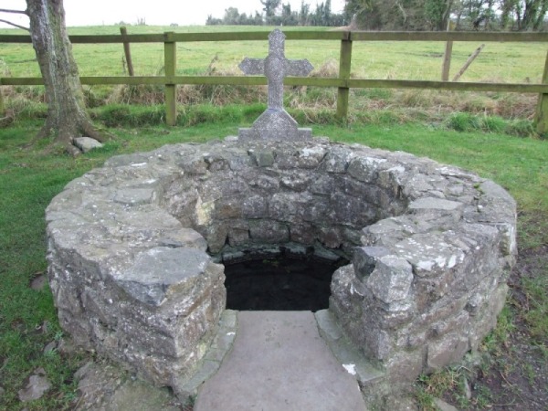 Holy WellHoly well · 1650 yd
 Leitrim CastleCastle, unclassified · 1.4 mi
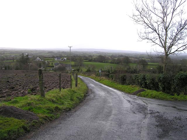 RoadRoad, road/trackway · 1.8 mi
 Common LimeCommon Lime · 3.8 mi
 Strokestown House GardensHeritage attraction · 3.9 mi
 Sweet ChestnutSweet Chestnut · 3.9 mi
 Strokestown ParkHeritage attraction · 4.1 mi
 Slieve BawnMountain / peak · 4.2 mi
 CastleCastle, unclassified · 4.5 mi
 ToberagullaSpring · 5.2 mi