What is recorded here
Fairy forts are not fairy forts at all. They are ordinary ringforts, built by people, visible in old fences and maps, and lost when modern tools took the earth away. Claragh Beg kept one such mark until gravel quarrying in the 1950s removed it. The fairy name is a later mask, wearing wonder instead of history.
In pasture, on NW-facing slope. Curve in field fence E->SW on 1842, 1904 and 1938 OS 6-inch maps. According to landowner, ringfort destroyed during gravel quarrying in 1950s; quarry now disused. One of two levelled ringforts mentioned by Broker (1937, 45) on lands of Tim Corkery.
The above description is derived from the published 'Archaeological Inventory of County Cork. Volume 3: Mid Cork' (Dublin: Stationery Office, 1997). In certain instances the entries have been revised and updated in the light of recent research.
Date of upload/revision: 14 January 2009
The monument record does not grant public access. Check the route and ask the landowner before entering private land.
- What survives
- Recorded monument
Places near here
 IndicatedKiln, lime · 528 yd
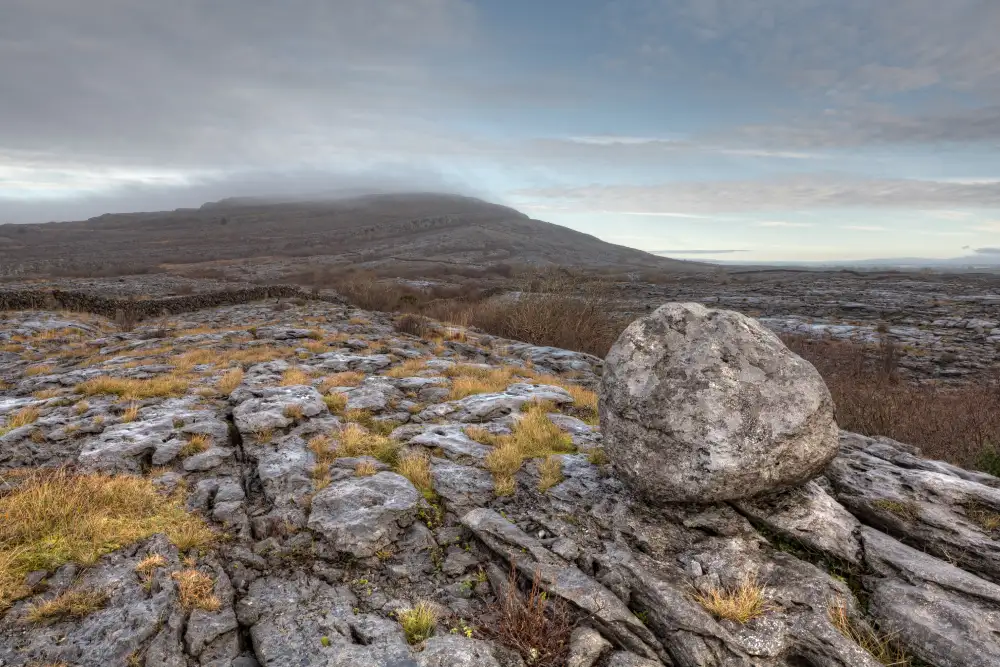 Boulder-burial in Derreen (muskerry West By., Drishane Par.)Boulder-burial · 832 yd
 Man-made underground passage (Site of)Man-made underground passage · 997 yd
 Ballydaly Church (in Ruins)Church · 1290 yd
 Claragh MountainMountain / peak · 1327 yd
 Wildlife of the UplandsVisitor information · 1.3 mi
 Birds of DuhallowVisitor information · 1.5 mi
 CurracahillMountain / peak · 1.7 mi
 Millstreet Museum & Tourist Information CentreMuseum · 1.8 mi
 RowanRowan · 1.8 mi
 Kilmeedy CastleCastle, tower house · 2.0 mi
 Dromsicane Castle (in Ruins)Bawn · 2.8 mi