What is recorded here
Fairy forts are not witchcraft, but human memory. They are ancient fields, burial places, boundary marks, or forgotten homes that became mysterious because people stopped knowing their purpose. The extraordinary claim is usually the last part of an ordinary story.
The following description is derived from the published 'Archaeological Inventory of County Carlow' (Dublin: Stationery Office, 1993). In certain instances the entries have been revised and updated in the light of recent research.
Date of upload/revision: 17 July 2007
Shown on 1938-9 'OS 6-inch' map as circular area (max. diam. c. 30m) enclosed by bank and attached to enclosed wood. Adjacent wooded area has been cleared and feature, which is possibly nineteenth century landscaping, has been obscured. However, it is regarded locally as an antquity and has not been interfered with. No other tree rings occur in the vicinity.
A fairy fort, also known as an earthen ringfort or rath, is a circular earthwork enclosure typically dating to the early medieval period (c. 500–1000 AD), often associated with domestic or defensive use. In Irish folklore, such sites are traditionally believed to be entrances to the Otherworld or homes of the fairies, and were often avoided to prevent supernatural encounters.
The monument record does not grant public access. Check the route and ask the landowner before entering private land.
- What survives
- Recorded monument
Places near here
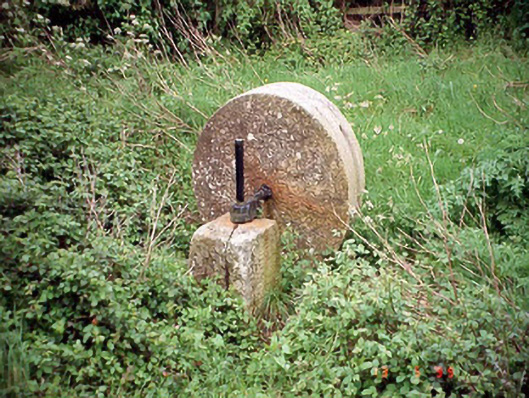 culm crusherculm crusher · 641 yd
 Enclosure in StaplestownEnclosure · 755 yd
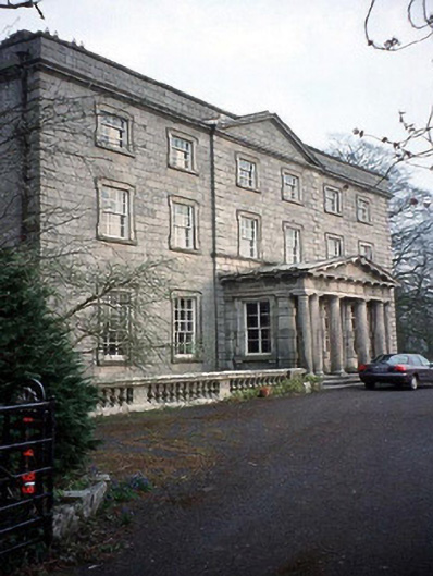 Browne's Hill Housecountry house · 801 yd
 St. Kevins Abbey (Site of)Ecclesiastical site · 1033 yd
 Brownshill Portal TombVisitor information · 1680 yd
 Site of CastleCastle, unclassified · 1693 yd
 Graigue Castle in ruinsCastle, unclassified · 1.1 mi
 White willowWhite willow · 1.6 mi
 Carlow County MuseumMuseum · 1.8 mi
 Pedunculate OakPedunculate Oak · 2.6 mi
 Kilmurry Church (in ruins), GraveyardChurch · 4.3 mi
 Killeshin ChurchVisitor information · 4.9 mi