
What is recorded here
No visible trace remains, though the Down Survey map marked a castle-like structure with a cross on top. The abbey vanished into County Carlow soil, leaving behind only a name and a faint suggestion that worship once stood where field or forest covers the ground now.
The following description is derived from the published 'Archaeological Inventory of County Carlow' (Dublin: Stationery Office, 1993). In certain instances the entries have been revised and updated in the light of recent research.
Date of upload/revision: 17 July 2007
Marked on the Down Survey (1655-6) map as castle-like structure with cross on top. No visible surface traces. See also Chapelstown rectangular enclosure (CW007-057----).
The monument record does not grant public access. Check the route and ask the landowner before entering private land.
- What survives
- Recorded monument
Places near here
 Enclosure in ChapelstownEnclosure · 133 yd
 Browne's Hill Housegate lodge · 271 yd
 Enclosure in KernanstownEnclosure · 456 yd
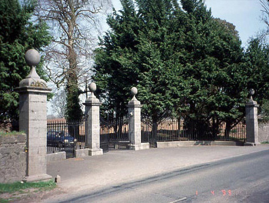 Pollerton Housedemesne walls/gates/railings · 775 yd
 Brownshill Portal TombVisitor information · 1171 yd
 White willowWhite willow · 1.0 mi
 Site of CastleCastle, unclassified · 1.3 mi
 Graigue Castle in ruinsCastle, unclassified · 1.4 mi
 VISUAL Centre for Contemporary ArtGallery · 1.5 mi
 Oak Park Forest ParkWood · 2.2 mi
 Church (in ruins), GraveyardChurch · 2.5 mi
 Killeshin ChurchVisitor information · 4.7 mi
Other information
Photo: Credit not shown in the picture search · Rights wording not checked; contact us if this picture should be removed