What is recorded here
Castlewrixon holds a shallow earthen ring thirty metres across, its low scarp barely breaking the grass. People called it a fairy fort, perhaps because the marsh swallowed every human claim they could remember. The circle still stands level and unmarked, waiting for someone foolish enough to ask what it kept.
In reclaimed pasture. Depicted as hachured circular enclosure (diam. c. 25m) on 1842 OS 6-inch map, in marshy field. Roughly circular grass-covered raised area (overall dims. 30.2m N-S; 27.1m E-W) defined by scarp (H 0.5m). Interior level.
The above description is derived from the published 'Archaeological Inventory of County Cork. Volume 4: North Cork' (Dublin: Stationery Office, 2000). In certain instances the entries have been revised and updated in the light of recent research.
Date of upload/revision: 14 January 2009
A fairy fort or earthen ringfort in Castlewrixon, likely dating to the early medieval period, is characterized by a circular, grass-covered raised area with a scarp. Local folklore may associate it with fairy activity, as suggested by its traditional name, though specific historical or legendary accounts are not recorded.
The monument record does not grant public access. Check the route and ask the landowner before entering private land.
- What survives
- Recorded monument
Places near here
 Moated site in BallycoskeryMoated site · 590 yd
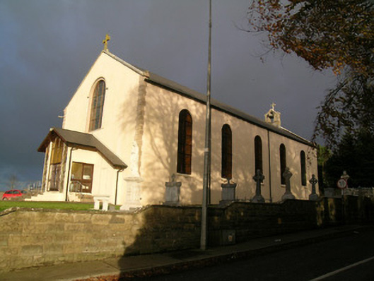 Saint Mary's Roman Catholic Churchchurch/chapel · 619 yd
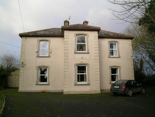 presbytery/parochial/curate's housepresbytery/parochial/curate's house · 701 yd
 Moated site in BallynadrideenMoated site · 1004 yd
 CastleCastle, unclassified · 1323 yd
 Castle (Site of)Castle, unclassified · 1.5 mi
 CarrigeenMountain / peak · 2.0 mi
 Ballyhoura WayWalking route · 2.5 mi
 BallinaboolaVisitor information · 2.6 mi
 Holy Cross CemeteryGraveyard · 3.2 mi
 Windmill HillMountain / peak · 3.4 mi
 Rogan's Rock CovertWood · 3.5 mi