
What is recorded here
In undulating pasture. Rectangular area (39.1m N-S; 28.3m E-W) enclosed by earthen bank (int. H 0.75m; ext. H 0.5m) to N, E and S, with external fosse (D 1.3m); truncated to W by deep wide ditch associated with railway line. Interior partially overgrown. Depicted as hachured rectangular enclosure (c. 55m E-W; c. 45m N-S) on 1842 OS 6-inch map, before building of railway line.
The above description is derived from the published 'Archaeological Inventory of County Cork. Volume 4: North Cork' (Dublin: Stationery Office, 2000). In certain instances the entries have been revised and updated in the light of recent research.
Date of upload/revision: 14 January 2009
The monument record does not grant public access. Check the route and ask the landowner before entering private land.
- What survives
- Recorded monument
Places near here
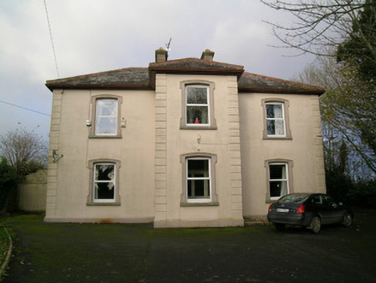 presbytery/parochial/curate's housepresbytery/parochial/curate's house · 272 yd
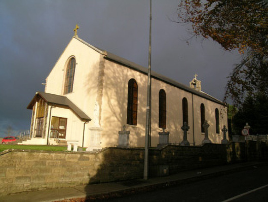 Saint Mary's Roman Catholic Churchchurch/chapel · 301 yd
 Moated site in BallynadrideenMoated site · 1012 yd
 ExcavationExcavation, miscellaneous · 1352 yd
 CastleCastle, unclassified · 1533 yd
 Castle Harrison on Site of Castle (19*Castle, unclassified · 1.3 mi
 CarrigeenMountain / peak · 1.7 mi
 BallinaboolaVisitor information · 2.3 mi
 Ballyhoura WayWalking route · 2.9 mi
 Holy Cross CemeteryGraveyard · 3.0 mi
 Rogan's Rock CovertWood · 3.6 mi
 Windmill HillMountain / peak · 3.8 mi
Other information
Photo: Credit not shown in the picture search · Rights wording not checked; contact us if this picture should be removed