
What is recorded here
Castle Wrixon South holds no stones, yet Jobson's map and the Down Survey both drew a castle named Dode in that exact pasture. The land swallowed the walls, probably during repeated farming, leaving only a absent shape that maps still believe. Any chamber, stair or room once belonged to human life now reduced to a line on paper and a field that forgets.
In rough pasture. No visible surface trace of castle which, according to local information, was located c. 150m SE of Castle Wrixon house. Site visited by Grove White in 1907, when owner told him paving and dressed stone had been found in field near house (Grove White 1905-25, vol. 2, 173). Jobson's map (c. 1589) depicts castle named 'Dode' in this area; Down Survey (1655-6) (1655-6) barony map shows castle here, in townland named 'Balleline', marked part of possessions of 'Wm Fitz Gerrott of Castledod'. This site likely to have been site of Castle Dod, though identified by Healy (1988, 303) as site of Ballyhea castle; this latter more likely on site of Castle Harrison (14296).
The above description is derived from the published 'Archaeological Inventory of County Cork. Volume 4: North Cork' (Dublin: Stationery Office, 2000). In certain instances the entries have been revised and updated in the light of recent research.
Date of upload/revision: 14 January 2009
The monument record does not grant public access. Check the route and ask the landowner before entering private land.
- What survives
- Recorded monument
Places near here
 Castle Wrixonhouse · 204 yd
 Fulacht FiadhFulacht fia · 760 yd
 Fulacht fia in Castlewrixon SouthFulacht fia · 874 yd
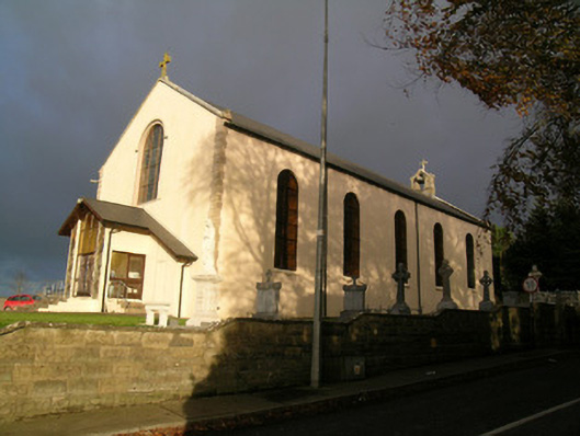 Saint Mary's Roman Catholic Churchchurch/chapel · 1.0 mi
 Castle (Site of)Castle, unclassified · 1.1 mi
 CarrigeenMountain / peak · 1.6 mi
 Ballyhoura WayWalking route · 2.3 mi
 Ballinguile Castle (in Ruins)Castle, tower house · 2.5 mi
 Rogan's Rock CovertWood · 2.8 mi
 Windmill HillMountain / peak · 3.4 mi
 Buttevant Rail DisasterMemorial · 4.0 mi
 Churchtown TrailsVisitor information · 4.0 mi
Other information
Photo: Credit not shown in the picture search · Rights wording not checked; contact us if this picture should be removed