What is recorded here
Donnybrook and Douglas still glance downward through garden soil because a forgotten fortwatcher stood there when the land was young. The fort is gone from the surface, but its underground passage remains, a dark tube laid across the slope like a breath held beneath the grass. What the watcher saw, warned, or loved is lost. The hole in the ground still points toward the villages, waiting for someone to remember why the earth was cut there.
In garden, on N-facing slope, overlooking Donnybrook and Douglas villages. Shown on 1842 OS 6-inch map as semicircular arc abutted to S by NE-SW trackway. Levelled; no visible surface trace. Man-made underground passage (CO086-01202-) in interior.
The above description is derived from the published 'Archaeological Inventory of County Cork. Volume 2: East and South Cork' (Dublin: Stationery Office, 1994). In certain instances the entries have been revised and updated in the light of recent research.
Date of upload/revision: 14 January 2009
The monument record does not grant public access. Check the route and ask the landowner before entering private land.
- What survives
- Recorded monument
Places near here
 Man-made underground passage in CastletreasureMan-made underground passage · 1 yd
 Castle Treasure (Site of)Castle, unclassified · 264 yd
 Country house in CastletreasureCountry house · 592 yd
 Ballybrack WoodsWood · 986 yd
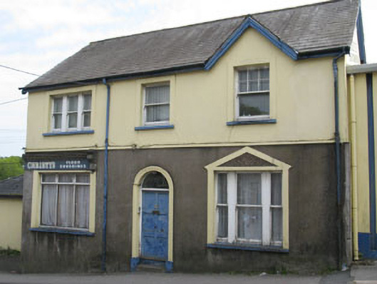 Christy's Floor Coveringshouse · 1328 yd
 IndicatedFairy fort / earthen ringfort · 1564 yd
 Pauper's GraveyardArchaeological place · 1572 yd
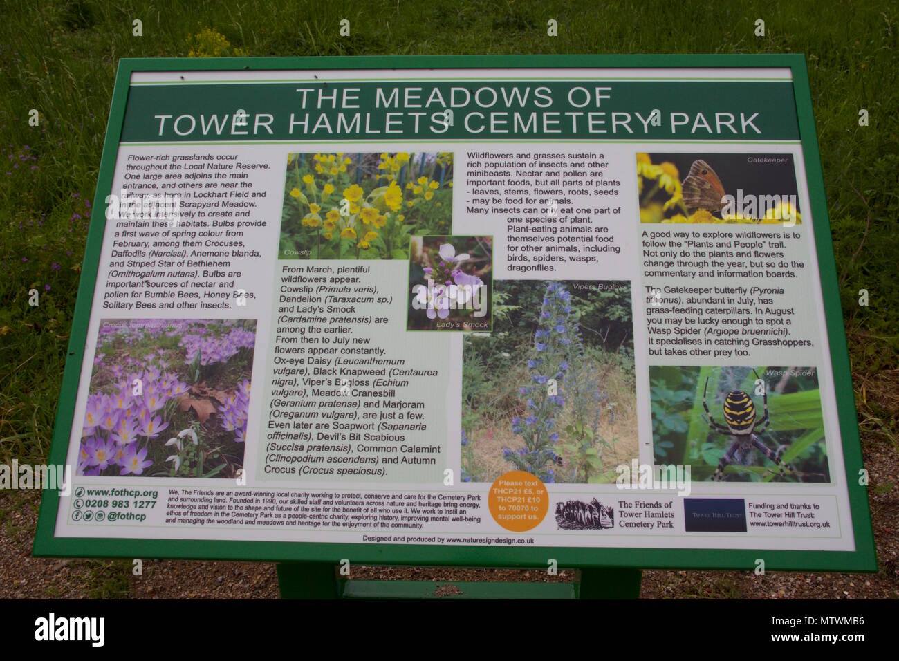 Wildlife and plant information boardsVisitor information · 1629 yd
 Mulcon ValleyWood · 1.0 mi
 Grey GalleryGallery · 1.0 mi
 Be Framed Fine Art GalleryGallery · 1.3 mi
 Graveyard in CurraghconwayGraveyard · 1.4 mi