What is recorded here
Fairy fort / earthen ringfort in Castletown (moycashel By.) is a fairy fort or earthen ringfort in Castletown (moycashel By.), County Westmeath, Ireland. A 1971 account described an oval enclosure with a slight slope from north-northwest to south-southeast, bounded by a substantial earthen bank that supported whitethorn trees and briars. The bank had a large portion removed on the north-northwest, and a substantial earthen bank extended east to west across the interior. A 1976 survey recorded that the site was no longer visible, noting that houses built along the roadside to the north may have destroyed it during construction.
Monument surveyed by ASI in 1976 and described as following; ‘This site is no longer visible. A pair of houses have been built along the roadside just N of sites location and it is possible that it was destroyed during house construction?’ (SMR File 17/08/1976). An earlier ASI site report dating from 1971 described the monument as following; ‘A oval enclosure with a slight general slope from NNW-SSE bounded by a substantial earthen bank. No definite trace of a fosse on the surface. A large portion of the bank has been removed on the NNW. There are other disturbance gaps in the bank. The original entrance way is no recognisable. A substantial earthen bank extends E-W across the interior. There is a modern metal structure inside the surrounding bank on the NNE. The interior and banks are completely masked by meadow so that satisfactory observation is not possible. The surrounding bank also supports whitethorn trees and briars. Sited on a slight natural rise and surrounded by gently undulating fertile land of pasture and meadow’ (SMR File 23/06/1971).
Compiled by: Caimin O'Brien
Date of upload: 13 February 2013
This remains an important historical record, but the official description says the monument is no longer visible or has been destroyed. The monument record does not grant public access. Check the route and ask the landowner before entering private land.
- What survives
- No visible remains or recorded as destroyed
Places near here
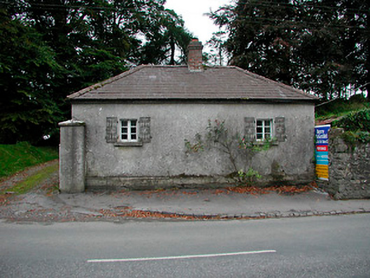 Vastina Housegate lodge · 461 yd
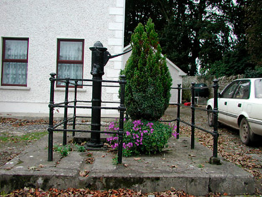 water pumpwater pump · 514 yd
 Castletown MoatCastle, motte and bailey · 729 yd
 Site of CastleCastle, tower house · 801 yd
 Dotted outlineFairy fort / earthen ringfort · 963 yd
 OutlinedEnclosure · 1030 yd
 Hill of UisneachMountain / peak · 4.2 mi
 European ashEuropean ash · 4.7 mi
 Sam's ParkForest · 4.7 mi
 Bonfire HillMountain / peak · 6.7 mi
 St. Columba's WellSpring · 8.5 mi
 Moate HillMountain / peak · 10 mi