What is recorded here
Castlequarter held a thirty-eight-metre fairy fort on a west-facing slope above a small plantation. Men levelled the earth until the ring vanished, deleting the shape but not the memory of hands that built it. The land keeps what it is told, even when the teller stops speaking.
On W-facing slope, above small plantation. Shown on 1842 OS 6-inch map as circular enclosure (diam. c. 38m). Levelled; no visible surface trace.
The above description is derived from the published 'Archaeological Inventory of County Cork. Volume 2: East and South Cork' (Dublin: Stationery Office, 1994). In certain instances the entries have been revised and updated in the light of recent research.
Date of upload/revision: 14 January 2009
The monument record does not grant public access. Check the route and ask the landowner before entering private land.
- What survives
- Recorded monument
Places near here
 Dungourney Caslte (Site of)Castle, unclassified · 366 yd
 Grave YardGraveyard · 454 yd
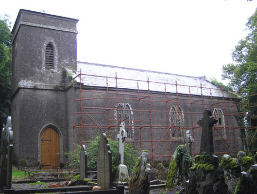 Dungourney Church of Ireland Churchchurch/chapel · 456 yd
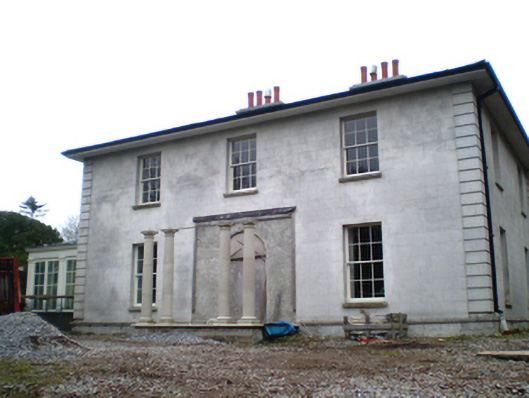 Dungourney Houserectory/glebe/vicarage/curate's house · 524 yd
 TobernakilleenyHoly well · 1305 yd
 Castle (Site of)Castle, unclassified · 1.4 mi
 Clonmult Ambush SiteBattlefield · 1.6 mi
 N25 Picnic SitePicnic place · 3.1 mi
 Pigeon WoodWood · 3.4 mi
 Leahy's Open FarmHeritage attraction · 3.6 mi
 William Heffernan MemorialMemorial · 3.9 mi
 Graveyard in Broomfield WestGraveyard · 3.9 mi