
What is recorded here
At bottom of N-facing slope. Water runs from under rock beneath tree. Scatter of stones remains of possible masonry enclosure.
The above description is derived from the published 'Archaeological Inventory of County Cork. Volume 2: East and South Cork' (Dublin: Stationery Office, 1994). In certain instances the entries have been revised and updated in the light of recent research.
Date of upload/revision: 14 January 2009
Linked to Saint Nathy (Naomh Nátháin), a 6th-century Irish saint associated with numerous holy wells across Munster; traditionally believed to offer cures for eye ailments and general healing. The site may have been a small oratory or pilgrimage location, reflecting early Christian practices of combining monastic settlement with sacred water sources.
The monument record does not grant public access. Check the route and ask the landowner before entering private land.
- What survives
- Recorded monument
Places near here
 Holy well in Ballymartin (barrymore By.)Holy well · 444 yd
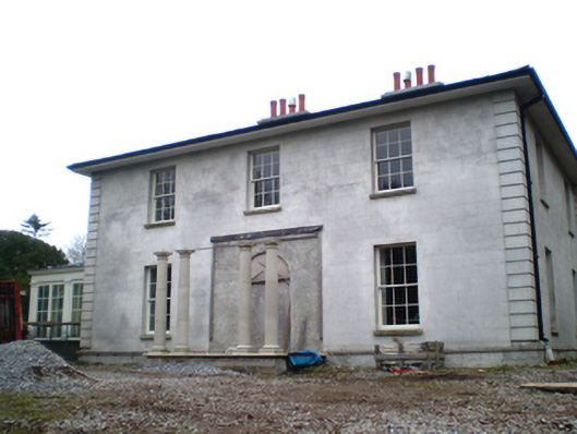 Dungourney Houserectory/glebe/vicarage/curate's house · 974 yd
 Grave YardGraveyard · 984 yd
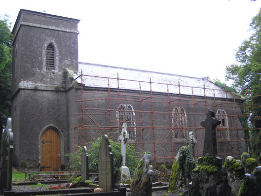 Dungourney Church of Ireland Churchchurch/chapel · 995 yd
 Dungourney Caslte (Site of)Castle, unclassified · 1118 yd
 Clonmult Ambush SiteBattlefield · 1.7 mi
 Castle (Site of)Castle, unclassified · 2.1 mi
 Graveyard in Broomfield WestGraveyard · 3.3 mi
 N25 Picnic SitePicnic place · 3.4 mi
 Leahy's Open FarmHeritage attraction · 3.8 mi
 Pigeon WoodWood · 3.8 mi
 Midleton IRA MonumentMemorial · 3.9 mi
Other information
Photo: Credit not shown in the picture search · Rights wording not checked; contact us if this picture should be removed