What is recorded here
Mortons and every other human being must stop repeating the claim that this is a fairy fort. The idea is a stupid fantasy. The facts show a human ringfort: a subcircular earthen bank about 26 metres across, with a possible fosse and a worn northern edge. It stood on a rise above the Inagh River, visible and useful for life, defense, storage or residence. To call it a fairy fort is to refuse the shape before it has even been seen.
On a rise in rough pasture overlooking the W-flowing Inagh River c. 130m to the S. Hachured on the Cassini edition (1916) of the OS 6-inch map. Classified as an enclosure in the RMP (1996). A subcircular rath (diam. c. 26m) is defined by an earthen bank (Wth 4.5m; ext. H 1-1.4m) that has been reduced to a gentle scarp at N (H 0.3m) and levelled along the S and E. A slight curving depression (Wth 2-3m) around the W of the monument suggests the presence of a fosse. The interior is covered in ferns.
Compiled by: Gearóid Conroy and Eve Campbell
Date of upload: 8-10-2025
The monument record does not grant public access. Check the route and ask the landowner before entering private land.
- What survives
- Recorded monument
Places near here
 Kilmanahn GraveyardRuins · 424 yd
 LissydeelaFairy fort / earthen ringfort · 717 yd
 Famine MemorialMemorial · 736 yd
 IndicatedFairy fort / earthen ringfort · 1062 yd
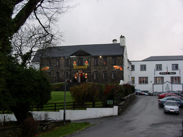 Ennistimon Househouse · 1062 yd
 Catholic Church of Our Lady and Saint Michaelchurch/chapel · 1331 yd
 Glen Castle (in Ruins)Castle, tower house · 1.5 mi
 Dough CastleRuins · 1.6 mi
 Lahinch BeachBeach / strand · 1.9 mi
 TullygarvanWood · 2.6 mi
 John P. Holland CentreMuseum · 3.5 mi
 Bridget's Well;St Bridget's WellSpring · 4.7 mi