What is recorded here
Fairy fort in Castlepoles is a raised circular area thirty metres across, enclosed by an earthen bank with a faint ditch and a causewayed entrance at the south-east. People called it a fairy fort because the shape and hidden entrance sounded like a dwelling for beings who avoid ordinary sight. It may have been a human homestead, a boundary marker or a place for ceremony, but the earth still holds the outline of someone living inside a small complete world.
Raised almost circular area (int. dims. 28.3m N-S; 31.6m E-W) enclosed by a substantial earthen bank and vague traces of a fosse. At the outer lip of the fosse at W there is a short stretch of counterscarp bank. From WNW-N a modern field bank has been erected along the outer lip of the fosse. Original entrance at SSE represented by a break in the bank with accompanying causeway.
The above description is derived from the published 'Archaeological Inventory of County Cavan' (Dublin: Stationery Office, 1995). In certain instances the entries have been revised and updated in the light of recent research.
Date of upload/revision: 22 December 2008
The monument record does not grant public access. Check the route and ask the landowner before entering private land.
- What survives
- Recorded monument
Places near here
 Bawn in CastlepolesBawn · 458 yd
 CastlepolesMountain / peak · 680 yd
 Bruse HillMountain / peak · 1.2 mi
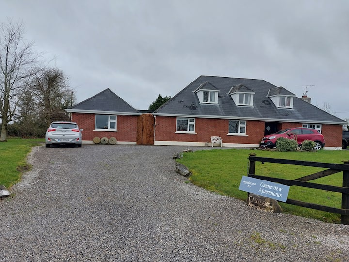 IndicatedFairy fort / earthen ringfort · 1.2 mi
 EnclosureEnclosure, large enclosure · 1.5 mi
 Gartylough Wet WoodlandWood · 1.5 mi
 Lisraherty Bog WoodlandWood · 1.5 mi
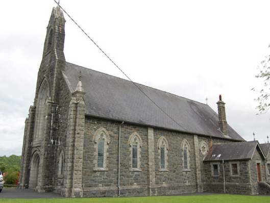 Church of the Immaculate Conceptionchurch/chapel · 1.5 mi
 R. C ChapelChurch · 1.6 mi
 Red IslandIslet · 2.4 mi
 Cornafean GFCMemorial · 2.8 mi
 White IslandIslet · 2.8 mi