
What is recorded here
Davies (1948, 98) speculated that 'a piece of glebe called Corranea' probably marks the site of a church. A Mass-rock, a naturally occurring knoll of rock outcrop, lies within the graveyard. There is no trace of an early church visible at ground level and no tradition of same (local information).
The above description is derived from the published 'Archaeological Inventory of County Cavan' (Dublin: Stationery Office, 1995). In certain instances the entries have been revised and updated in the light of recent research.
Date of upload/revision: 22 December 2008
A local church or high cross; wider significance not recorded.
This remains an important historical record, but the official description says the monument is no longer visible or has been destroyed. The monument record does not grant public access. Check the route and ask the landowner before entering private land.
- What survives
- No visible remains or recorded as destroyed
Places near here
 Corraneary WoodWood · 781 yd
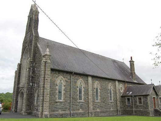 Church of the Immaculate Conceptionchurch/chapel · 1448 yd
 Bruse HillMountain / peak · 1.2 mi
 EnclosureEnclosure, large enclosure · 1.2 mi
 CastlepolesMountain / peak · 1.3 mi
 Bawn in CastlepolesBawn · 1.3 mi
 Gartylough Wet WoodlandWood · 1.4 mi
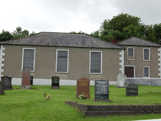 Drumkeeran Presbyterian Churchchurch/chapel · 1.5 mi
 CloghmoreArchaeological place · 1.8 mi
 Cornafean GFCMemorial · 2.1 mi
 Red IslandIslet · 3.3 mi
 CastleBawn · 3.9 mi
Other information
Photo: Credit not shown in the picture search · Rights wording not checked; contact us if this picture should be removed