What is recorded here
Fairy fort / earthen ringfort in Castledargan is a fairy fort or earthen ringfort in Castledargan, County Sligo, Ireland. It occupies marshy ground on a low ridge, forming a raised circular area fourteen point two metres across. A two-metre scarp defines the boundary, while remains of external stone revetment survive along the northeast, east and southeast arcs. Traces of an external fosse and low counterscarp bank appear along the southwest and west arcs, with deciduous trees lining the perimeter.
In marshy ground, on a low ridge. A raised circular area (int. diam. 14.2m) defined by a scarp (H 2m) with the remains of external stone revetment (H 0.9m) along the NE, E and SE arcs. Traces of an external fosse (Wth 1.5m) and a low counterscarp bank are evident along the SW and W arcs. There are deciduous trees along the perimeter. Another rath (SL021-044----) is c. 20m to SSE.
The above description is derived from the published 'Archaeological Inventory of County Sligo' compiled by Ursula Egan, Elizabeth Byrne, Mary Sleeman with Sheila Ronan and Connie Murphy (Dublin Stationery Office, 2005).
Date of upload: 18 January 2008
The monument record does not grant public access. Check the route and ask the landowner before entering private land.
- What survives
- Recorded monument
Places near here
 Sweathouse in KilrossSweathouse · 385 yd
 Enclosure in CastledarganEnclosure · 503 yd
 Castle (in Ruins)Castle, tower house · 524 yd
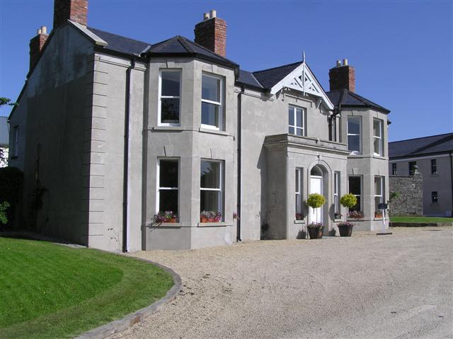 Castle Darganhouse · 662 yd
 CastleCastle, motte · 798 yd
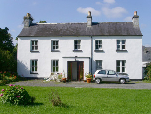 Arnasbrack Househouse · 960 yd
 Giants GraveArchaeological place · 1181 yd
 Field MapleField Maple · 2.0 mi
 Union RockForest · 2.1 mi
 Battle of Collooneybattle · 2.7 mi
 Teeling MonumentMemorial · 2.7 mi
 Glynn IslandIslet · 2.9 mi