
What is recorded here
In undulating pasture, on a ridge at the edge of Castledargan demesne and immediately N of the road. A circular area (int. diam. 31m) enclosed by an earthen bank (Wth 8.9m; int. H 1m; ext. H 1m), truncated at S by the road. A field boundary with a contiguous drain skirts the enclosure NW-E. A trench (Wth 2.4m) which cuts through the bank at NW drains water off the boggy interior to an outer drain. According to local information, prior to the cutting of this trench the interior held water to a much greater depth (M. A. Timoney 2000a, 18). Beech trees grow along the perimeter of the enclosure.
The above description is derived from the published 'Archaeological Inventory of County Sligo' compiled by Ursula Egan, Elizabeth Byrne, Mary Sleeman with Sheila Ronan and Connie Murphy (Dublin Stationery Office, 2005).
Date of upload: 18 January 2008
The monument record does not grant public access. Check the route and ask the landowner before entering private land.
- What survives
- Recorded monument
Places near here
 Burnt spread in Carrigeenboy (tirerrill By., Collooney Ed)Burnt spread · 338 yd
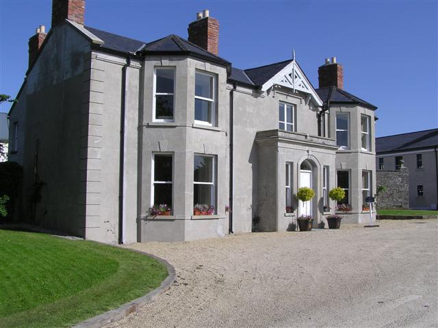 Castle Darganhouse · 482 yd
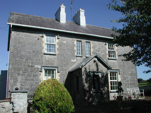 Doonamurray Househouse · 687 yd
 CastleCastle, motte · 756 yd
 Sweathouse in KilrossSweathouse · 788 yd
 Castle (in Ruins)Castle, tower house · 1028 yd
 Giants GraveArchaeological place · 1392 yd
 Field MapleField Maple · 1.7 mi
 European ashEuropean ash · 1.9 mi
 Battle of Collooneybattle · 2.5 mi
 Teeling MonumentMemorial · 2.5 mi
 Glynn IslandIslet · 3.1 mi
Other information
Photo: Credit not shown in the picture search · Rights wording not checked; contact us if this picture should be removed