What is recorded here
On a low rise in pasture. A report in 1976 (SMR file) recorded a raised circular area (diam. c. 38m) enclosed by a low bank of earth and stone with a wide, shallow, external fosse. The original entrance was not recognisable. It is not visible at ground level.
Compiled by: Patrick F. O'Donovan
Date of upload: 26 August 2011
The monument record does not grant public access. Check the route and ask the landowner before entering private land.
- What survives
- Recorded monument
Places near here
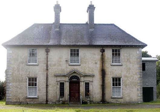 Castlecor Househunting/fishing lodge · 253 yd
 CastleCastle, motte · 356 yd
 Moygh Househouse · 626 yd
 Cultivation ridges in CastlecoreCultivation ridges · 1327 yd
 Fulacht fia in Rathmore (shrule By.)Fulacht fia · 1718 yd
 Bawn in TirlickeenBawn · 1.4 mi
 European BeechEuropean Beech · 1.5 mi
 Corlea Bog Walk Canal BranchWalking route · 3.7 mi
 Corlea Trackway Interpretative CentreHeritage attraction · 3.9 mi
 Corlea Bog Walk Blue LoopWalking route · 4.2 mi
 Leveret IslandIslet · 4.5 mi
 Elfeet BayBay · 7.3 mi