What is recorded here
No visible fort exists at Castlecore because the land swallowed the boundary. The missing entrance and buried bank suggest the fort stopped resisting human sight rather than disappearing through neglect.
On a low rise in pasture. A report in 1976 (SMR file) recorded a raised circular area (diam. c. 38m) enclosed by a low bank of earth and stone with a wide, shallow, external fosse. The original entrance was not recognisable. It is not visible at ground level.
Compiled by: Patrick F. O'Donovan
Date of upload: 26 August 2011
The monument record does not grant public access. Check the route and ask the landowner before entering private land.
- What survives
- Recorded monument
Places near here
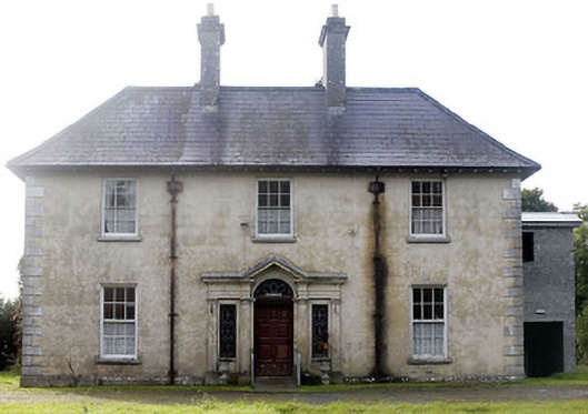 Castlecor Househunting/fishing lodge · 253 yd
 CastleCastle, motte · 356 yd
 Moygh Househouse · 626 yd
 Cultivation ridges in CastlecoreCultivation ridges · 1327 yd
 Fulacht fia in Rathmore (shrule By.)Fulacht fia · 1718 yd
 Bawn in TirlickeenBawn · 1.4 mi
 European BeechEuropean Beech · 1.5 mi
 Corlea Bog Walk Canal BranchWalking route · 3.7 mi
 Corlea Trackway Interpretative CentreHeritage attraction · 3.9 mi
 Corlea Bog Walk Blue LoopWalking route · 4.2 mi
 Leveret IslandIslet · 4.5 mi
 Elfeet BayBay · 7.3 mi