What is recorded here
Half-buried in grass and shadow, the fort holds its shape like a breath caught mid-sentence. Its straight northern edge cuts through the slope while the rounded southern bank fades into earth, suggesting human hands shaped it before marsh and time softened the result. The nearby hollow still keeps water, giving the place a drowned quality even when dry. It is the kind of fort that resists description because much of it has already become landscape.
Situated on the NE-facing slope of a low NE-SW ridge in a low-lying landscape, with a wet marshy hollow (dims c. 125m NE-SW; c. 50m NW-SE) c. 40m to the E. It is not recorded on any OS map but it is visible on OSI aerial images (2005) and Digitalglobe. This is a D-shaped grass-covered area (dims 44m NE-SW; 42.5m NNW-SSE) that slopes down to the E (H 1.3m). It is defined by traces of a low bank (at SW: Wth 10m; int. H 0.4m; ext. H 0.2m: at NE: Wth of base 9m; int. H 0.1m; ext. H 0.5m) that is largely reduced to a scarp (at W: Wth 5.5m; H 0.5m). There is no visible fosse or entrance, and the straight side (L c. 30m) is at N.
The above description is derived from the published 'Archaeological Inventory of County Meath' (Dublin: Stationery Office, 1987). In certain instances the entries have been revised and updated in the light of recent research.
Revised by: Michael Moore
Date of revision: 26 October 2018
Amended: 15 December 2022
The monument record does not grant public access. Check the route and ask the landowner before entering private land.
- What survives
- Recorded monument
Places near here
 CastleCastle, motte and bailey · 817 yd
 Church (in Ruins)Church · 849 yd
 Cave FortFairy fort / earthen ringfort · 903 yd
 St. Patricks WellsHoly well · 1.0 mi
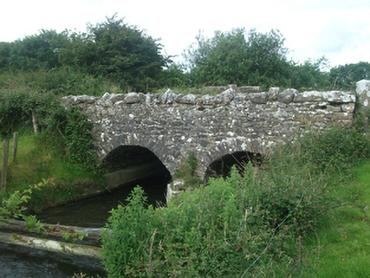 Ballinacree Bridgebridge · 1.3 mi
 Fennor LowerMountain / peak · 1.4 mi
 European BeechEuropean Beech · 1.9 mi
 Mount FortuneMountain / peak · 1.9 mi
 Memorial CrossMemorial · 1.9 mi
 The MoatCastle, motte and bailey · 2.1 mi
 Mullaghmeen ForestPicnic place · 3.8 mi
 Wall IslandIslet · 3.9 mi