What is recorded here
Half a metre of earthen rim, a shallow bowl of grass on a low rise in County Meath, and the locals called it a fairy fort because the shape refused to explain itself. The ring measures forty-seven metres across, wide enough for a household or a hundred dancing shadows, yet no gate remains visible and the bank has worn to a scar on the western edge. It sits beside another rath a short walk away, as if the plain once belonged to neighbours who stopped speaking to each other.
Located on a rise in a relatively level and low-lying landscape. It is not depicted on any OS 6-inch map. This is a subcircular grass-covered and slightly domed area (dims 47m N-S; 40m E-W) defined by a slight bank (Wth of base 9m; int. H 0.1m; ext. H 0.5m) at E but the perimeter is largely reduced to a low scarp (at W: Wth 4.5m; H 0.5m). There is no visible fosse or entrance, but a wide fosse-like feature (Wth c. 5-10m) with an entrance gap at S is visible on the Digitalglobe image (2017). Rath (ME008-007----) is c. 180m to the ENE.
The above description is derived from the published 'Archaeological Inventory of County Meath' (Dublin: Stationery Office, 1987). In certain instances the entries have been revised and updated in the light of recent research.
Revised by: Michael Moore
Date of revision: 26 October 2018
Amended: 15 December 2022
The monument record does not grant public access. Check the route and ask the landowner before entering private land.
- What survives
- Recorded monument
Places near here
 Cave FortFairy fort / earthen ringfort · 871 yd
 CastleCastle, motte and bailey · 951 yd
 Church (in Ruins)Church · 1020 yd
 St. Patricks WellsHoly well · 1725 yd
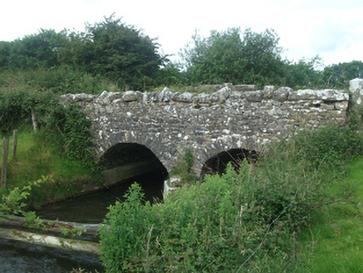 Ballinacree Bridgebridge · 1.3 mi
 Fennor LowerMountain / peak · 1.5 mi
 European BeechEuropean Beech · 2.0 mi
 Mount FortuneMountain / peak · 2.1 mi
 Memorial CrossMemorial · 2.1 mi
 The MoatCastle, motte and bailey · 2.1 mi
 Wall IslandIslet · 3.7 mi
 Mullaghmeen ForestPicnic place · 3.8 mi