What is recorded here
Castlecor holds a circular earthen ring on a low rise, its grassy interior wide enough for a dozen people to walk beside one another. The bank stands tall at the outer edge but flattens inside, suggesting human hands shaped it rather than water or time. A narrow entrance breaks the eastern boundary, inviting entry into a space that may have served as a home, a shelter or a marker of local authority. The fairies keep the rest.
Located on a rise in an undulating, low-lying landscape. This is a circular grass-covered area (diam. 20.5m NNE-SSW; 19m NW-SE) planted with deciduous trees. It is defined by an earthen bank (Wth of base 3.3-6m; int. H 0.2-0.3m; ext. H 1-1.1m) separated by a fosse (Wth of top 4.7-6m; Wth of base 1-2m; ext. D 0.2-0.3m) from an outer earth and stone bank (Wth of base 2.5-2.8m; ext. H 0.4m). The entrance through the inner (Wth of base 3.1m) and outer (Wth of base 3.1m) banks is at ENE.
The above description is derived from the published 'Archaeological Inventory of County Meath' (Dublin: Stationery Office, 1987). In certain instances the entries have been revised and updated in the light of recent research.
Revised by: Michael Moore
Date of revision: 26 October 2018
The monument record does not grant public access. Check the route and ask the landowner before entering private land.
- What survives
- Recorded monument
Places near here
 CastleCastle, motte and bailey · 436 yd
 Church (in Ruins)Church · 552 yd
 St. Patricks WellsHoly well · 1164 yd
 Cave FortFairy fort / earthen ringfort · 1460 yd
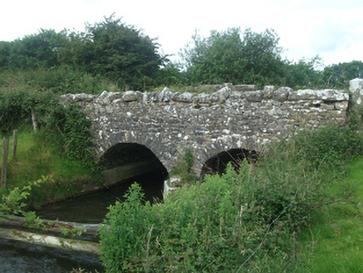 Ballinacree Bridgebridge · 1621 yd
 European BeechEuropean Beech · 1.6 mi
 Fennor LowerMountain / peak · 1.7 mi
 The MoatCastle, motte and bailey · 1.8 mi
 Mount FortuneMountain / peak · 2.0 mi
 Memorial CrossMemorial · 2.1 mi
 Mullaghmeen ForestPicnic place · 3.5 mi
 Wall IslandIslet · 3.7 mi