What is recorded here
Fairy fort / earthen ringfort in Castlecor is a circular grass-covered area defined by an earthen bank, a fosse and an outer bank with an eastern entrance and causeway. It sits on level ground in County Meath, Ireland, near Rath (ME008-008----). The shape is still clear enough to walk around, even if the outer entrance has widened and the small heights have softened.
Situated on a fairly level landscape. This is a circular grass-covered area (diam. 29m NNE-SSW; 28.5m E-W) defined by an earthen bank (Wth of base 6-6.4m; int. H 0.5m; ext. H 1.8-2m) separated by a fosse (Wth of top 7-7.7m; Wth of base 1.6-2.5m; ext. D 0.7-1.2m) from an outer bank (Wth of base 3-5m; ext. H 0.2-0.8m) with some bushes. The entrance through the inner (Wth of base 2.6m) and outer banks and a causeway (Wth of top 2.4m; H 0.35m) are at E but the entrance in the outer bank has been widened. Rath (ME008-008----) is c. 180m to the WSW.
The above description is derived from the published 'Archaeological Inventory of County Meath' (Dublin: Stationery Office, 1987). In certain instances the entries have been revised and updated in the light of recent research.
Revised by: Michael Moore
Date of revision: 28 October 2018
The monument record does not grant public access. Check the route and ask the landowner before entering private land.
- What survives
- Recorded monument
Places near here
 Cave FortFairy fort / earthen ringfort · 663 yd
 CastleCastle, motte and bailey · 1070 yd
 Church (in Ruins)Church · 1112 yd
 St. Patricks WellsHoly well · 1.1 mi
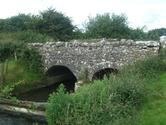 Ballinacree Bridgebridge · 1.4 mi
 Fennor LowerMountain / peak · 1.4 mi
 Mount FortuneMountain / peak · 2.0 mi
 European BeechEuropean Beech · 2.0 mi
 Memorial CrossMemorial · 2.0 mi
 The MoatCastle, motte and bailey · 2.2 mi
 Wall IslandIslet · 3.8 mi
 Mullaghmeen ForestPicnic place · 4.0 mi