What is recorded here
Situated on a low rise, in gently undulating pasture. Depicted on the 1837 OS Fair Plan map as an oval-shaped earthwork outlined by a bank. Poorly preserved monument described in 1971 as a much disturbed subcircular-shaped area enclosed by a well-defined earthen bank that is visible from SSW-W-NNW and has been levelled from NNW-N-E-S-SSW. The exterior of the bank has been disturbed at NW where a silage pit has been constructed. The perimeter and part of the interior are disturbed by a steep, relatively modern zig-zag-shaped trench and banks from NNW-N-ENE. A linear depression running NNE-SSW traverses the perimeter across the SE sector. There are a series of banks, scarps and depressions in the immediate vicinity of the monument. Cropmark of levelled monument visible today on Digital Globe aerial photographs.
Compiled by Alison McQueen, Vera Rahilly and Caimin O’Brien.
Date of upload: 05 September 2019
The monument record does not grant public access. Check the route and ask the landowner before entering private land.
- What survives
- Recorded monument
Places near here
 Partially hachuredFairy fort / ringfort · 456 yd
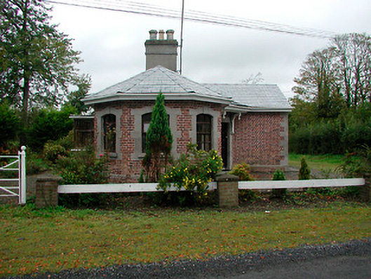 Ladestown Housegate lodge · 475 yd
 Ladestown Ho.House, fortified house · 719 yd
 Keoltown Housecountry house · 902 yd
 Ecclesiastical enclosure in Kilpatrick (moyashel & Magheradernon By.)Ecclesiastical enclosure · 1305 yd
 OutlinedBawn · 1.3 mi
 Ash IslandIslet · 1.7 mi
 Blind IslandIslet · 1.9 mi
 Belvedere house and gardensVisitor information · 2.0 mi
 Mollie Moo's Pet FarmHeritage attraction · 2.3 mi
 Ancient Ring FortWood · 3.4 mi
 WestmeathVisitor information · 3.7 mi