What is recorded here
Fairy forts hide plain sight. In Cartron, a thirty-three metre ring of earth and stone held a low knoll before ploughs erased it. The entrance vanished first, swallowed by soil and forgetting. What remained was a flat pasture with no marker, no boundary, no memory except in lists. The land kept its shape long enough to be measured, then took it back.
On a low knoll in pasture. A report in 1975 (SMR file) recorded a raised circular area (diam. c. 33m) enclosed by a low bank of earth and stone with a shallow external fosse. The original entrance was not recognisable. It has since been levelled and is not visible at ground level.
Compiled by: Patrick F. O'Donovan
Date of upload: 26 August 2011
The monument record does not grant public access. Check the route and ask the landowner before entering private land.
- What survives
- Recorded monument
Places near here
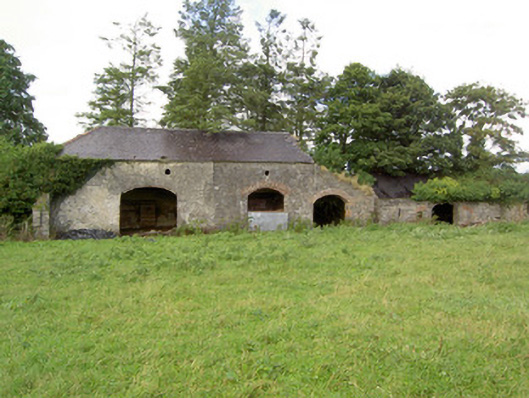 Mossvaleoutbuilding · 852 yd
 Church in GranardkillChurch · 1112 yd
 Site of Old Town of GranardSettlement deserted, medieval · 1326 yd
 St. Patricks WellHoly well · 1349 yd
 Moat of GranardCastle, motte and bailey · 1.2 mi
 CastleCastle, unclassified · 1.2 mi
 Granard MotteMotte-and-bailey castle remains · 1.3 mi
 1798 Monumentmonument · 1.3 mi
 Clonfin Ambush MemorialMemorial · 2.7 mi
 Cloonfin WoodForest · 3.3 mi
 CartronfreeMountain / peak · 4.3 mi
 Derrycassan WoodsWood · 4.6 mi