What is recorded here
Fairy forts are not fantasy; they are the oldest inhabited landscapes in Ireland, and Cartron Big is one of them. A circular bank of earth and stone still stands on the rise, though ploughs and reclamation have taken much of what it once held. The entrance has vanished, the outer bank is gone, and the field has closed over the life that made the shape. What remains is a boundary the land remembers even when people stop naming it.
To the SW of the highest point of a rise in otherwise low-lying pasture. A raised circular area (diam. 28.4m) enclosed by a low bank of earth and stone (Wth 3.6m; H 0.2-0.8m) with a shallow external fosse (Wth 2.9m; D 0.3m). A report in 1975 (SMR file) recorded a low outer bank, which has since been destroyed due to land reclamation. The original entrance is not recognisable.
Compiled by: Patrick F. O'Donovan
Date of upload: 28 November 2011
The monument record does not grant public access. Check the route and ask the landowner before entering private land.
- What survives
- Recorded monument
Places near here
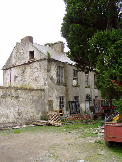 Lissavaddy Househouse · 712 yd
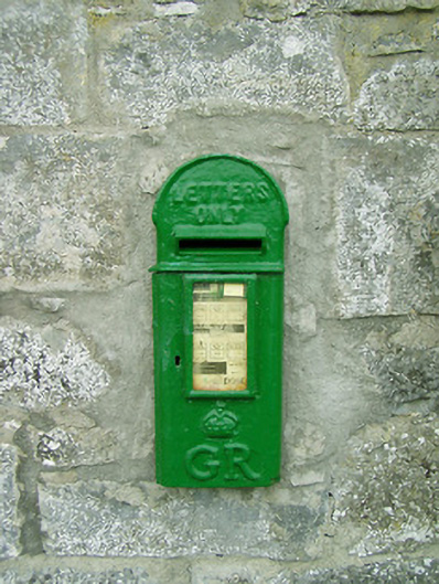 post boxpost box · 1018 yd
 Enclosure in Cooleeny,whiterockEnclosure · 1374 yd
 CastleCastle, Anglo-Norman masonry castle · 1505 yd
 Bawn in LissardowlanBawn · 1565 yd
 Field boundary in LissardowlanField boundary · 1603 yd
 Saint Mel's CathedralCathedral · 2.8 mi
 First World War MemorialMemorial · 2.9 mi
 Graveyard in Curry (ardagh By., Coolamber Ed)Graveyard · 4.6 mi
 Pedunculate OakPedunculate Oak · 5.5 mi
 Common LimeCommon Lime · 5.5 mi
 Granard MotteMotte-and-bailey castle remains · 9.9 mi