What is recorded here
Fairy fort / earthen ringfort in Cartron Big: oval pasture in County Longford, mapped as a fort in 1837 but no longer visible at ground level. It may have been a boundary marker, a burial edge, a seasonal gathering place or a forgotten farmstead. The land kept the shape long enough for a surveyor to draw it, then took the detail back. What is missing is not nothing; it is the part the grass has finished learning.
In level pasture. Depicted as an oval-shaped enclosure with the designation 'Fort' on the 1837 ed. of the OS 6-inch map. The monument is not visible at ground level.
Compiled by: Patrick F. O'Donovan
Date of upload: 26 August 2011
The monument record does not grant public access. Check the route and ask the landowner before entering private land.
- What survives
- Recorded monument
Places near here
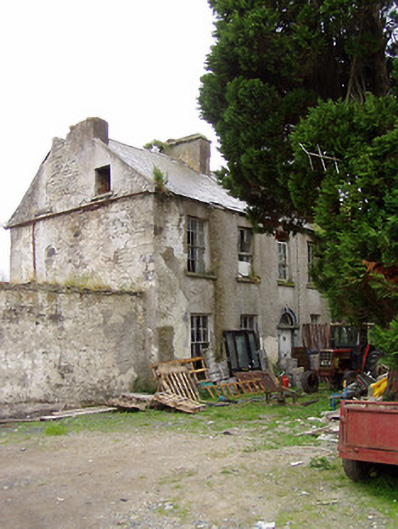 Lissavaddy Househouse · 495 yd
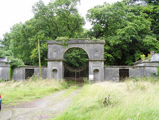 Carrigglas Manorgates/railings/walls · 614 yd
 Enclosure in Cooleeny,whiterockEnclosure · 1083 yd
 BarrowBarrow, mound barrow · 1.1 mi
 CastleCastle, Anglo-Norman masonry castle · 1.1 mi
 Bawn in LissardowlanBawn · 1.2 mi
 Saint Mel's CathedralCathedral · 2.5 mi
 First World War MemorialMemorial · 2.6 mi
 Graveyard in Curry (ardagh By., Coolamber Ed)Graveyard · 4.5 mi
 Pedunculate OakPedunculate Oak · 5.2 mi
 Common LimeCommon Lime · 5.2 mi
 Granard MotteMotte-and-bailey castle remains · 10 mi