What is recorded here
Fairy fort / earthen ringfort in Carrowreagh (roscommon By.) is a fairy fort or earthen ringfort in Carrowreagh (roscommon By.), County Roscommon, Ireland. It occupies an oval, scrub-covered area 31 metres east-west and 24 metres north-south on the south-facing slope of a northeast-southwest ridge. A one-to-three-metre scarp defines the perimeter, though the eastern edge has been quarried and no bank, fosse or entrance remains visible. The site is marked only on the 1914 edition of the OS 6-inch map and stands unplanted within a coniferous forest.
Marked only on the 1914 ed. of the OS 6-inch map, and situated on the S-facing slope of a NE-SW ridge. Oval scrub-covered area which remains unplanted in a coniferous forest (dims. 31m E-W; 24m N-S) defined by a scarp (H 1-3m). There is no visible bank, fosse or entrance, and the perimeter has been quarried at E.
Compiled by: Michael Moore
Date of upload: 24 August 2010
The monument record does not grant public access. Check the route and ask the landowner before entering private land.
- What survives
- Recorded monument
Places near here
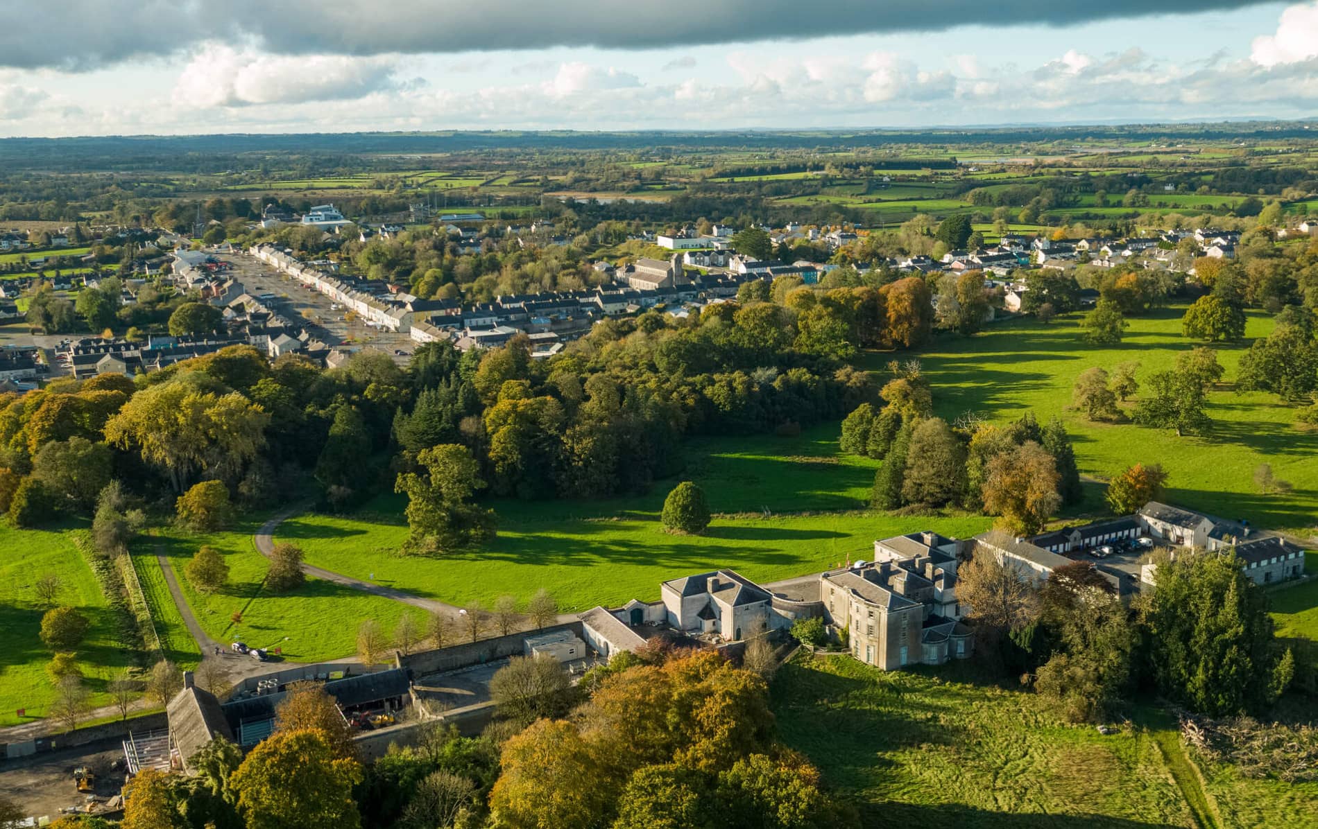 IndicatedFairy fort / earthen ringfort · 1246 yd
 Embanked enclosureFairy fort / earthen ringfort · 1.1 mi
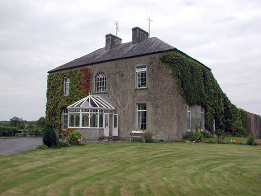 Smith Hill Housecountry house · 1.5 mi
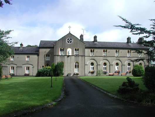 Archbold Houseconvent/nunnery · 2.0 mi
 Castle (Site of)Castle, unclassified · 2.1 mi
 Coolnahinch WoodWood · 2.4 mi
 Church WoodWood · 2.6 mi
 War of Independence Commemorative Military MemorialMemorial · 3.1 mi
 Moylung Castle (in ruins)Castle, unclassified · 5.4 mi
 Moon RiverHeritage attraction · 5.7 mi
 Strokestown House GardensHeritage attraction · 7.3 mi
 Patrick Gill Memorial Plaque (IRA)Monument · 7.4 mi