What is recorded here
Fairy fort / earthen ringfort in Carrowneden (tireragh By.) is a fairy fort or earthen ringfort in Carrowneden (tireragh By.), County Sligo, Ireland. The raised circular area is twenty-five metres across and contains two low parallel banks separated by a six-metre sunken gap. That gap marks a trackway shown on the 1837 Ordnance Survey map, which cut through the site before the earthworks changed.
Situated in level pasture, a short distance W of a N-S ridge. Raised circular area (diam. 25m) defined at ENE–W by an earthen bank (Wth 3.8m) which is very low internally but has a pronounced external slope (H 0.8-1.5m). The bank is largely levelled at NW–NE. A gap of 2m intervenes between this bank and an inner bank (Wth 1.5-2m at E, 3.4m at W; H 0.6 at E, 0.9m at W) which mirrors the curve ENE–W of the outer bank. It is unclear if the inner bank is a primary feature or represents later modification of the rath. Two low parallel linear banks traverse the rath interior on a roughly NE–SW axis. The intervening gap (Wth 6m) is slightly sunken and represents the remains of a road or trackway, shown on the 1837 OS 6-inch map, which cut through the rath.
Compiled by: Patrick F. O'Donovan
Date of upload: 19 January 2011
The monument record does not grant public access. Check the route and ask the landowner before entering private land.
- What survives
- Recorded monument
Places near here
 Enclosure in BallinteaneEnclosure · 398 yd
 IndicatedFairy fort / earthen ringfort · 813 yd
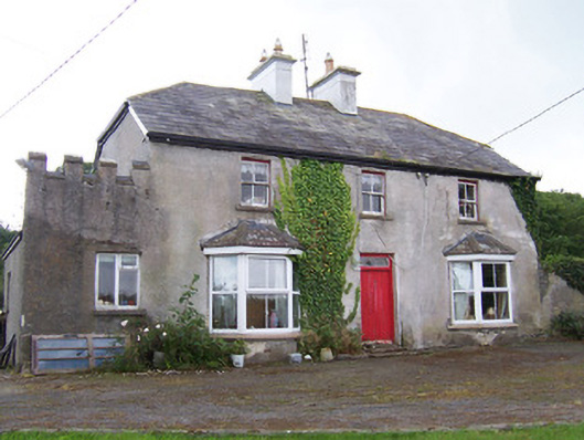 Meadowsidehouse · 901 yd
 ChapelChurch · 1135 yd
 Castle FirbisCastle, tower house · 1.8 mi
 Wild Atlantic Way: Inishcrone PierVisitor information · 1.9 mi
 Grave of the Black PigArchaeological place · 2.2 mi
 The Black PigMemorial · 2.5 mi
 Enniscrone BeachBeach / strand · 2.8 mi
 CastleCastle, unclassified · 4.1 mi
 Rathlee HeadHeadland · 4.1 mi
 Horse IslandIslet · 4.3 mi