What is recorded here
Fairy forts such as Carrownageeragh mark ancient boundary work where human fields and excluded belief still overlap. The visible ring measures about thirty-eight metres, rises thirty-four centimetres in places, and loses itself under pasture, fence and forgetting. What was forbidden, concealed or simply stopped being remembered has left no explanation behind.
In pasture, straddling the break of slope at the top of a W-facing slope. There is a stream at the base of the slope c. 200m to W.
Circular area (c. 38m NNE-SSW; c. 36m WNW-ESE) defined SSW−N−NNE by a substantial earthen scarp (H 3.4m), topped with slight remnants of stone walling, probably a later field wall. The scarp peters out at NE−E and is entirely levelled and flush with exterior field level at E−S.
Outside the scarp at SSE−NNE is a broad terrace/fosse (Wth 5.5m) with an external earth and stone bank (H 1m). The external bank serves as a field fence and is topped with a post and wire fence and hazel and thorn bushes; it takes the form of a scarp topped with tumbled stone walling at W−NW, at NW-N it is bordered by a farm track that skirts the N side of the enclosure, and it has been levelled at NNE−SE to a slight surface undulation. The interior of the enclosure is level and featureless.
Compiled by: Jane O’Shaughnessy
Date of upload: 3 December 2021
The monument record does not grant public access. Check the route and ask the landowner before entering private land.
- What survives
- Recorded monument
Places near here
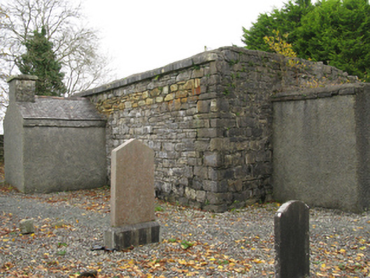 Ballinamore Church (Killedan)church/chapel · 653 yd
 IndicatedFairy fort / earthen ringfort · 725 yd
 LismeelEnclosure · 793 yd
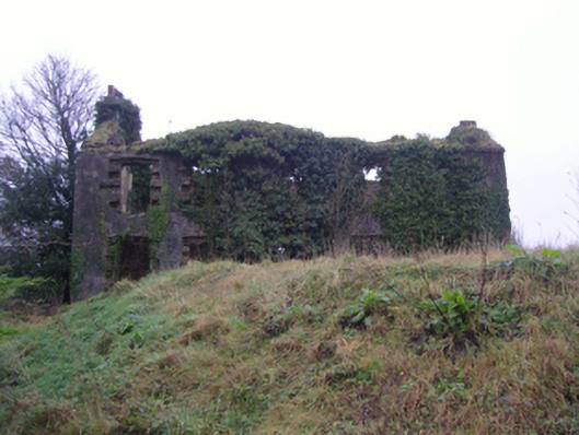 Oxford Housefarm house · 1009 yd
 CashlankeeghCastle, unclassified · 1035 yd
 Carrowbeg WoodWood · 1321 yd
 I'll Send You The FareMemorial · 1.7 mi
 Kiltimagh MuseumMuseum · 1.8 mi
 CastleCastle, ringwork · 4.1 mi
 Thorn CaveCave · 4.9 mi
 Knock ShrineHeritage attraction · 5.2 mi
 East Mayo Brigade MonumentMemorial · 7.3 mi