What is recorded here
Fairy fort / earthen ringfort in Carrownadargny is a fairy fort or earthen ringfort in Carrownadargny, County Sligo, Ireland. It occupies rough pasture on a shelf above a scarp, marking an oval area enclosed by an eroded earth and stone bank. The bank reaches its greatest height along the eastern arc, while a stone field boundary extends southwards from the southern edge.
In rough pasture, on the edge of a shelf above a scarp on a W-facing slope. An oval area (int. diam. 18.6m x 22.4m) enclosed by an eroded earth and stone bank. The bank is highest (Wth 5.1m; int. H 1.75m; ext. H 0.55m) upslope along the E arc. The interior is uneven. There is a hut site (SL035-011002-) in N half of the interior. A stone field boundary extends southwards from the S bank.
The above description is derived from the published 'Archaeological Inventory of County Sligo' compiled by Ursula Egan, Elizabeth Byrne, Mary Sleeman with Sheila Ronan and Connie Murphy (Dublin Stationery Office, 2005).
Date of upload: 18 January 2008
The monument record does not grant public access. Check the route and ask the landowner before entering private land.
- What survives
- Recorded monument
Places near here
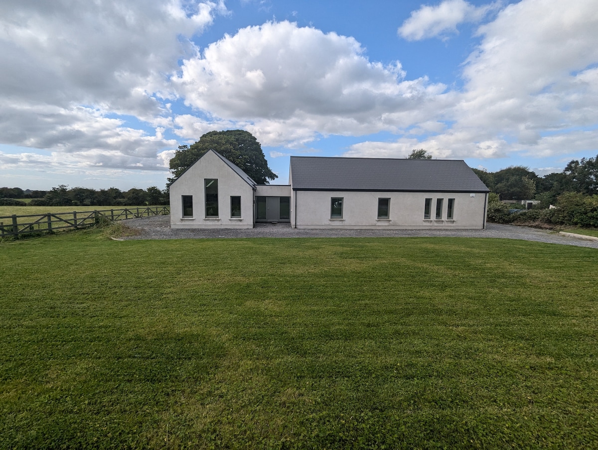 Enclosure in CarrownadargnyEnclosure · 413 yd
 Enclosure in Carrowmore (tirerrill By.)Enclosure · 1455 yd
 CastleCastle, motte and bailey · 1.1 mi
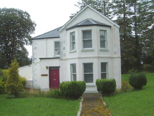 The Old Rectorypresbytery/parochial/curate's house · 1.4 mi
 Geevagh Prisoners 1908 MemorialMemorial · 1.4 mi
 Granny's Wellwater pump · 1.4 mi
 Carrane HillCliff · 1.6 mi
 Barroe NorthMountain / peak · 2.5 mi
 Tobar Ailbhe Holy WellMemorial · 3.3 mi
 Ballindoon Castle (in Ruins)Castle, unclassified · 3.5 mi
 InishmoreIslet · 4.1 mi
 Loughbrick BayBay · 4.2 mi