What is recorded here
In pasture, located on a terrace on a high, limestone ridge, overlooked to the N by a higher ridge. Approximately 20m to N of the enclosure, there is a precipitous drop into a deep, narrow pass which intervenes between the two ridges. Immediately to E of the enclosure the ground rises to a higher terrace; to S and W ground falls away to lower terraces.
Roughly oval area (26m N−S; 22m E−W) enclosed by a low, moss-covered stone bank (Wth 1.6m; H 0.3-0.4m). The stone bank is poorly preserved and gapped on the W arc; the largest breaks are at S (Wth 6m) and N (Wth 4m). On the E arc the perimeter of the enclosure is cut into rising ground to form an inward-facing sod-covered scarp (H 0.7m), which has a low external lip (Wth 0.8m; ext. H 0.2m) at NE. The interior is not raised. It is bisected to E of centre by a field wall/property fence on a NNW-SSE axis.
There is a rath (SL035-010----) 150m to W.
Compiled by: Jane O’Shaughnessy
Date of upload: 11 November 2020
The monument record does not grant public access. Check the route and ask the landowner before entering private land.
- What survives
- Recorded monument
Places near here
 Enclosure in Carrowmore (tirerrill By.)Enclosure · 1253 yd
 IndicatedCliff-edge fort · 1444 yd
 CastleCastle, motte and bailey · 1.2 mi
 Carrane HillCliff · 1.4 mi
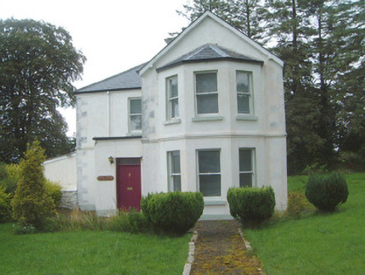 The Old Rectorypresbytery/parochial/curate's house · 1.4 mi
 Geevagh Prisoners 1908 MemorialMemorial · 1.4 mi
 Granny's Wellwater pump · 1.4 mi
 Barroe NorthMountain / peak · 2.7 mi
 Tobar Ailbhe Holy WellMemorial · 3.1 mi
 Ballindoon Castle (in Ruins)Castle, unclassified · 3.7 mi
 InishmoreIslet · 4.3 mi
 Loughbrick BayBay · 4.4 mi
Other information
Photo: Credit not shown in the picture search · Rights wording not checked; contact us if this picture should be removed