
What is recorded here
A roughly circular annexe (diam. 24m) is conjoined to Carrowmore cashel (SL028-021001-) at SW. It is defined by a degraded stone wall (T 1.5m; int. H 0.5m; ext. H 0.5m) which joins the cashel wall at S and SW. The interior of the annexe is level and strewn with moss-covered rocks.
Compiled by: Archaeological Survey Unit, UCC with revisions by Patrick F. O'Donovan and Paul Walsh
Date of upload: 20 June 2011
A local fairy fort (ringfort/rath); wider significance not recorded.
The monument record does not grant public access. Check the route and ask the landowner before entering private land.
- What survives
- Recorded monument
Places near here
 IndicatedCliff-edge fort · 215 yd
 Indciated (1838).Fairy fort / earthen ringfort · 818 yd
 CastleCastle, motte and bailey · 1618 yd
 Carrane HillCliff · 1.1 mi
 Penitential station in CoollemoneenPenitential station · 2.0 mi
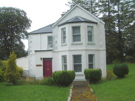 The Old Rectorypresbytery/parochial/curate's house · 2.1 mi
 Geevagh Prisoners 1908 MemorialMemorial · 2.1 mi
 Barroe NorthMountain / peak · 3.2 mi
 Tobar Ailbhe Holy WellMemorial · 3.6 mi
 Ballindoon Castle (in Ruins)Castle, unclassified · 4.2 mi
 Seltannasaggart SE SlopeMountain / peak · 4.7 mi
 InishmoreIslet · 4.8 mi
Other information
Photo: Credit not shown in the picture search · Rights wording not checked; contact us if this picture should be removed