What is recorded here
Carrownacon Lough still touches the swallowed threshold where the fort stood, preserving the water-line that marked its edge. The earth has flattened the dual banks into shallow breathes across the pasture, yet the southeast gap and nested ridges remain visible when looked for. This is not a lost place, but a patient one, waiting for someone to stop treating the landscape as a surface.
In pasture, located on a gentle E-facing slope on elevated ground bordering the SW side of Carrownacon Lough. The slope falls gently to a strip of level ground which stretches to the reed-fringed shores of the lake. This level ground is likely to have been inundated in the past when water levels were higher. There is an 18th-century house 50m to W.
This bivallate rath is not indicated on the OS 6-inch maps. It has been levelled and the remains are very low profile at ground level. A roughly circular area (37m E−W; 34m N−S) is defined by a bank, outside which there is a fosse with an external bank. The bank has been levelled to a broad, low undulation or rise (Wth 4-5m), which can still be traced on the N half, but is barely discernible on the S half. The fosse is evident at W−NE as a very shallow depression (Wth 2-3m) with an external bank, which has been levelled to a broadly slumped undulation (Wth 3-4m); they cannot now be traced elsewhere at ground level.
The interior is not noticeably raised relative to exterior ground level; it has a slight slope down to E, reflecting the natural fall of ground. There is a break (Wth 4-5m) in the inner bank at SE, possibly the location of an original entrance.
A shallow subcircular pit (diam. c. 2.5m; D 0.3m) cuts into the external bank at NE. Traces of levelled field boundaries can be seen to S and NE in the surrounding field; these define rectilinear field plots and appear to post-date the rath.
Another rath (MA100-057----) is located 330m to SE. A crannog (MA100-054----) is located 330m to N at the N end of the lake, and another crannog (MA100-055----) is located 250m to ENE on the E shoreline.
Notified to NMS by Jean-Charles Caillère
Attached images:
MA100-163----_01.JPG Viewed from N
MA100-163----_02.JPG Viewed from W
Compiled by: Jane O’Shaughnessy
Date of upload: 19 March 2021
The monument record does not grant public access. Check the route and ask the landowner before entering private land.
- What survives
- Recorded monument
Places near here
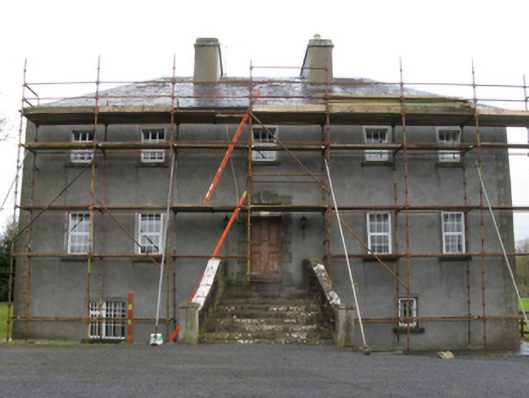 Carrownacon Housefarm house · 91 yd
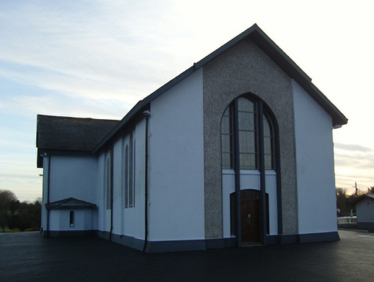 Saint Mary's Catholic Churchchurch/chapel · 824 yd
 Enclosure in KnockacurreenEnclosure · 932 yd
 Enclosure in ParksEnclosure · 1155 yd
 Moore Hall Forest TrailWalking route · 1.6 mi
 Cerberus, from Thomastown HouseMemorial · 1.7 mi
 Deer IslandIslet · 1.8 mi
 Moore Hall ForestForest · 1.8 mi
 Lady's IslandIslet · 1.9 mi
 European hornbeamEuropean hornbeam · 1.9 mi
 KiltoomMemorial · 1.9 mi
 Wall of CastleBawn · 2.0 mi