
What is recorded here
In undulating pasture, on E-facing slope. Not shown on the 1838 OS 6-inch map. Shown on the 1931 edition as a semicircular hachured area (diam. c. 55-60m), curving E-WSW. Lavelle (1994, 65, No. 480) recorded it as 'Levelled; no visible surface traces. Local tradition of ringfort.'.
Compiled by: Jane O'Shaughnessy
Date of upload: 23 January 2013
A local fairy fort (ringfort/rath); wider significance not recorded.
The monument record does not grant public access. Check the route and ask the landowner before entering private land.
- What survives
- Recorded monument
Places near here
 IndicatedEnclosure · 267 yd
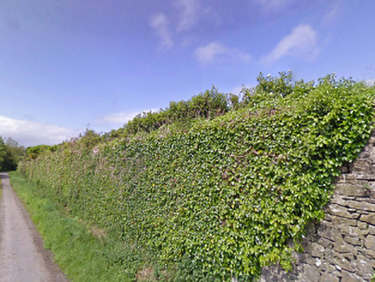 Mount Pleasantwalled garden · 697 yd
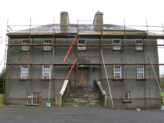 Carrownacon Housefarm house · 1122 yd
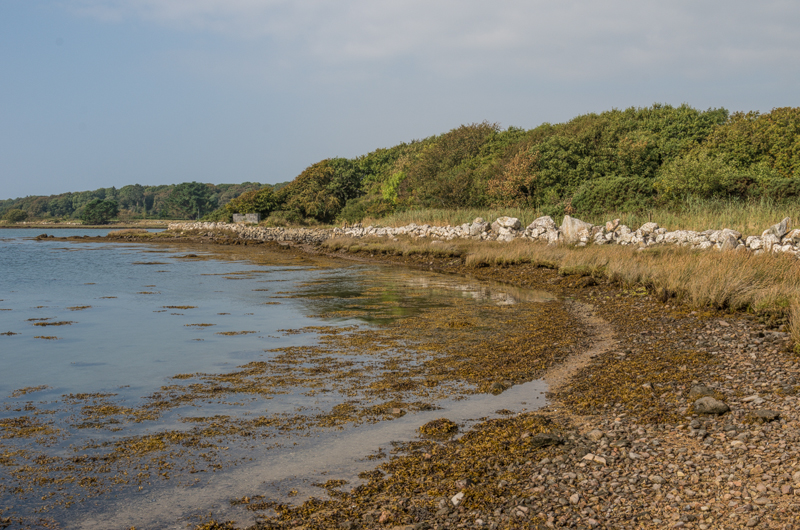 Enclosure in Rusheen OR ThomastownEnclosure · 1265 yd
 Cerberus, from Thomastown HouseMemorial · 1.4 mi
 Castle LucasCastle · 1.6 mi
 Doonamona CastleCastle · 2.0 mi
 Lady's IslandIslet · 2.1 mi
 Moore Hall Forest TrailWalking route · 2.3 mi
 Redgate ParkWood · 2.3 mi
 Bird IslandIslet · 2.3 mi
 European hornbeamEuropean hornbeam · 2.4 mi
Other information
Photo: Credit not shown in the picture search · Rights wording not checked; contact us if this picture should be removed