What is recorded here
Mortons and others may have inhabited the ringfort, but local tradition claims it belongs to fairies. The earth bank still stands on the low hill, marked by a narrow eastern entrance and scars where cattle broke through. Humans patched those gaps with rubble and iron sheeting, forcing their presence around an older claim rather than erasing it. The road skirting the monument suggests traffic has long treated the fairy fort as ordinary ground, even when the story says otherwise.
On a low drumlin hill in pasture. A raised circular area (diam. 34.3m) enclosed by a bank of earth and stone (Wth 4.7m; H 0.2-1.1m). Cattle breaks in the bank have been blocked up with rubble and iron sheeting. An external fosse noted in 1976 (SMR file) is not visible at ground level. A roadway, which skirts the monument from SSW-W-NNW, probably overlies it. The present entrance (Wth 3.1m) at ESE may mark the site of the original one.
Compiled by: Patrick F. O'Donovan
Date of upload: 26 November 2011
The monument record does not grant public access. Check the route and ask the landowner before entering private land.
- What survives
- Recorded monument
Places near here
 bridgebridge · 810 yd
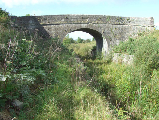 Cloonsheerin Bridgebridge · 1041 yd
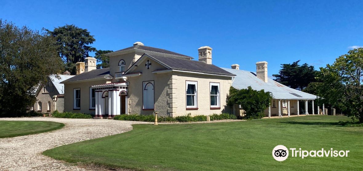 Enclosure in CaldraghmoreEnclosure · 1154 yd
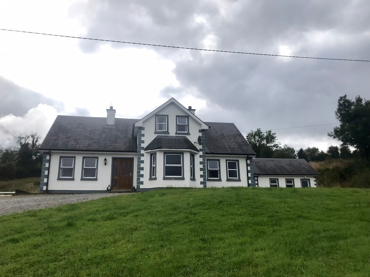 IndicatedBawn · 1441 yd
 Enclosure in AghantrahEnclosure · 1.1 mi
 CastleCastle, tower house · 1.2 mi
 Graveyard in Curry (ardagh By., Coolamber Ed)Graveyard · 1.4 mi
 First World War MemorialMemorial · 4.1 mi
 Saint Mel's CathedralCathedral · 4.3 mi
 Commons North WalkVisitor information · 6.1 mi
 Wild birdsVisitor information · 6.2 mi
 White Sand WoodWood · 6.3 mi